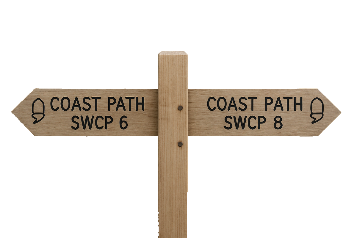
The stretch of the South West Coast Path from Instow to Westward Ho! is a relatively gentle section that marks the transition from estuary-side walking to open coast and rugged cliffs. While not as demanding as some Cornish or Exmoor stretches, it offers a rich blend of maritime history, evolving landscapes, and wide views across Bideford Bay.
After our second night at the Wayfarers, we drove to and parked in Westward Ho! Parking in Westward Ho! proved costly — and only afterwards did I discover there’s actually a free car park at Seafield House (Seafield/Merley Road Car Park). You live and learn!
Once again, though a convenient bus service was available, I opted to use Jason’s Taxi service again.
SWCP 7: The Walk
Easy
21 August 2024
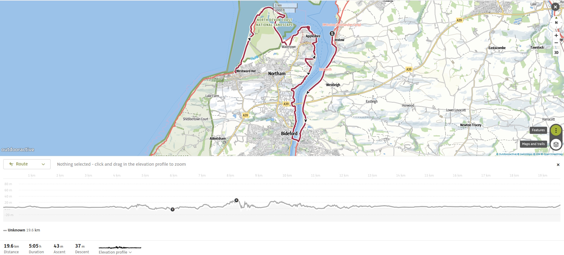
Instow to Bideford
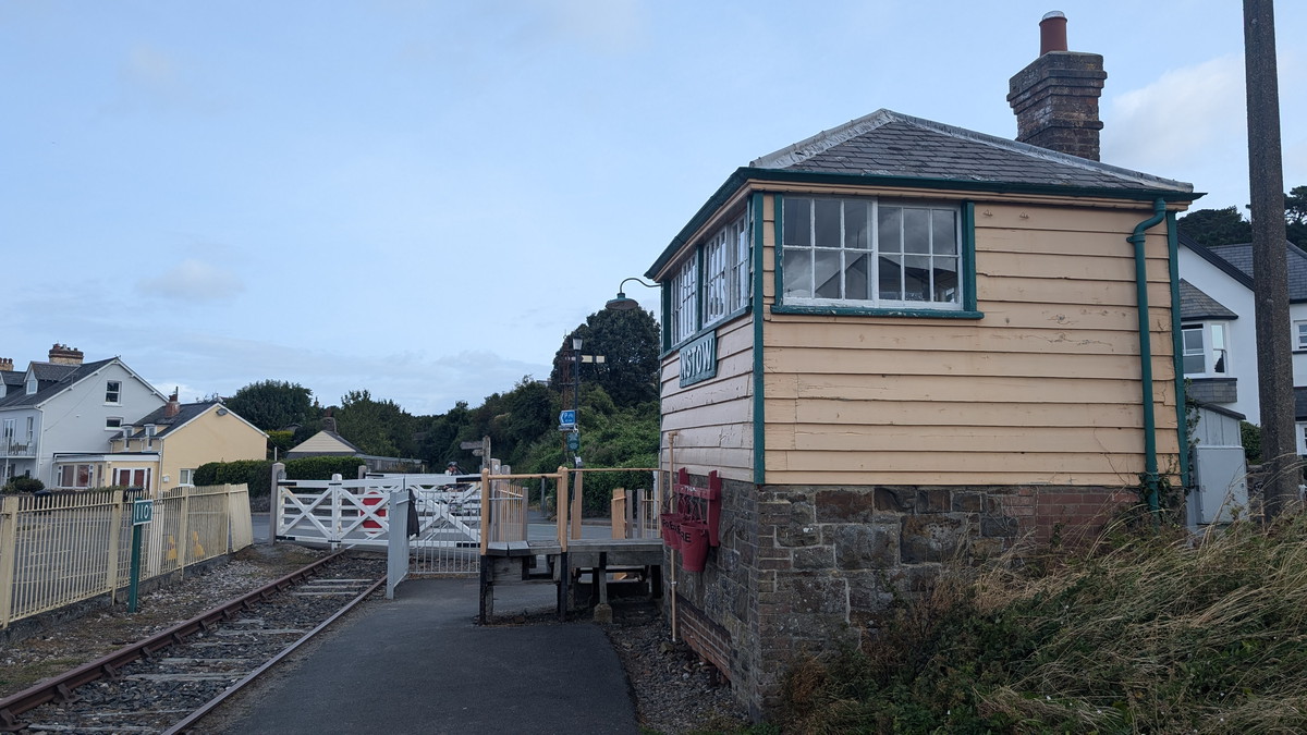
We were dropped off opposite the Wayfarers Inn. We set off along the, now familiar front and eventually reached the Instow Signal Box, the UK’s first Grade 2 Listed signal box.
Leaving Instow, the Path begins by hugging the edge of the River Torridge estuary, initially following the Tarka Trail, a former railway line converted into a flat, multi-use path. This section is easy-going and paved, making for a gentle start.
Eventually, we reached Bideford, a historic port town. Bideford was once one of England’s busiest ports in the 17th century, trading tobacco and wool.
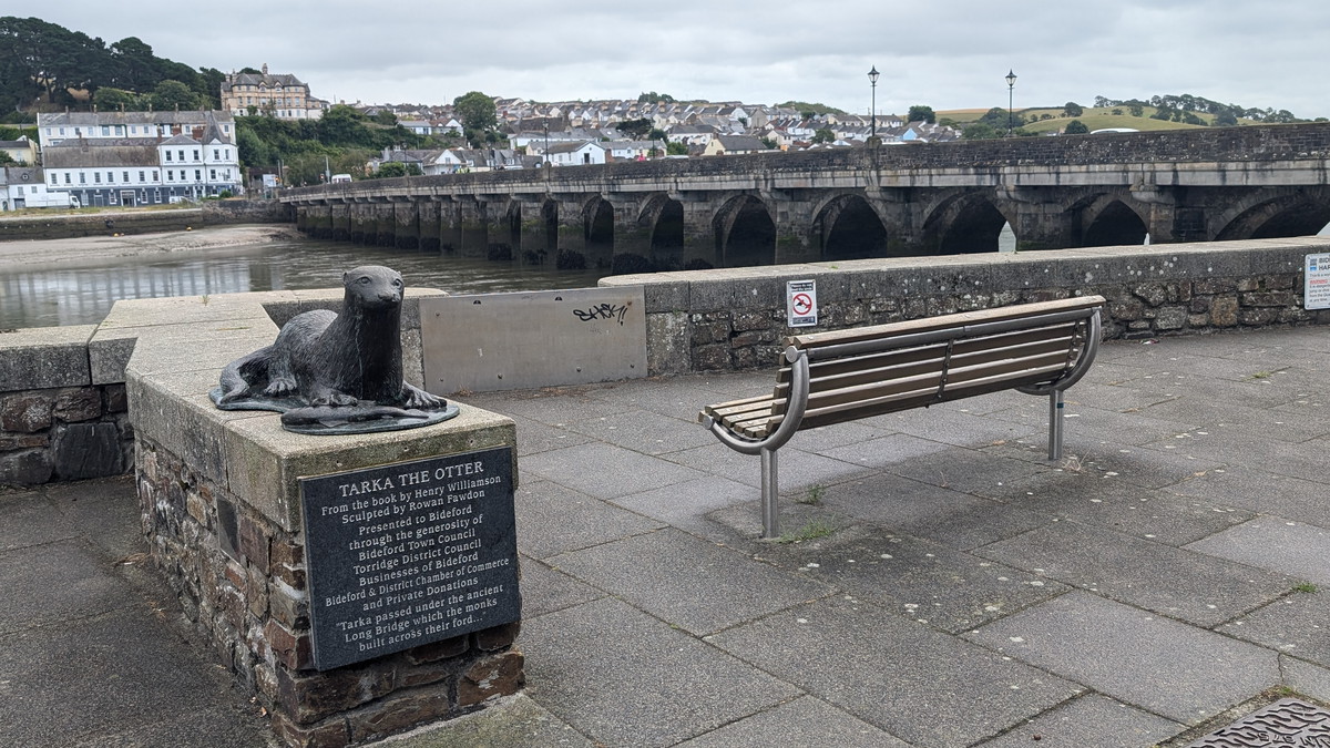
We crossed the Grade I listed Long Bridge, dating to the 13th century, built on 24 arches of varying sizes, which is thought to be due to the different lengths of timber available during its original construction and possibly because each arch was funded by different local guilds and local merchants.
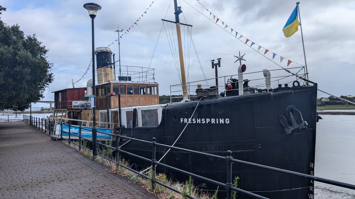
On the quay, we paused by the preserved steamship SS Freshspring, now a floating museum.
Through Appledore
Beyond Bideford, the path stayed largely level, curving gradually toward the sea. Quiet tracks and lanes led us around the Harland and Wolff Shipyard before dropping into Appledore.
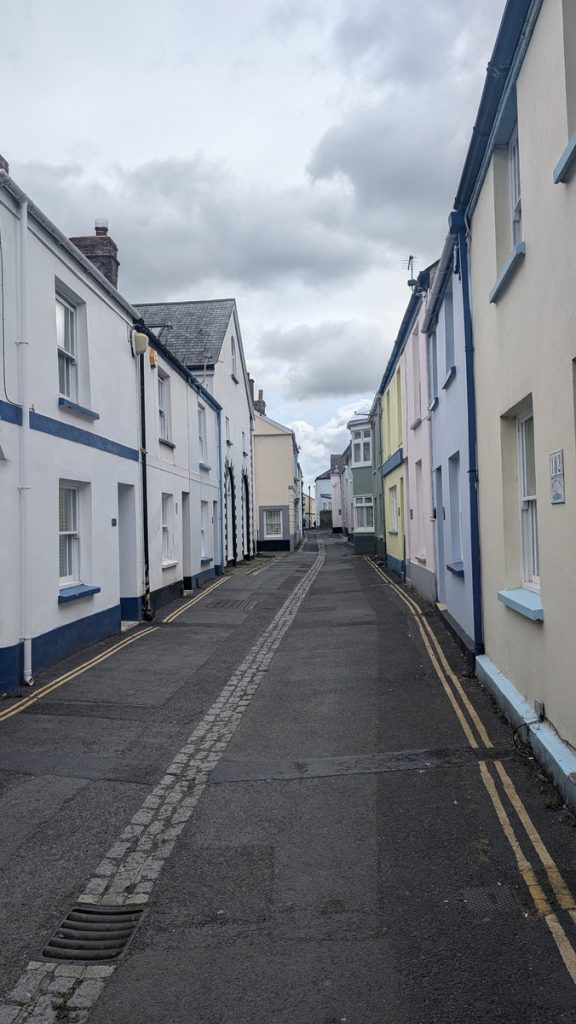
As we followed the road skirting the quay, we entered Irsha Street- a charming network of narrow, cobbled streets and tucked-away courtyards, flanked by historic sea captains’ homes.
Appledore sits at the mouth of the River Torridge in North Devon, a colourful village of narrow lanes, painted cottages, and strong maritime traditions. For centuries it was a shipbuilding hub, its yards turning out vessels from fishing boats to warships, and that heritage lives on in the stories told at the North Devon Maritime Museum. The village has a friendly, artistic character today, with galleries, craft shops, and cafés overlooking the estuary where fishing boats and yachts still moor. From the South West Coast Path, Appledore is both a charming pause and a link to the wider history of Devon’s seafaring coast.

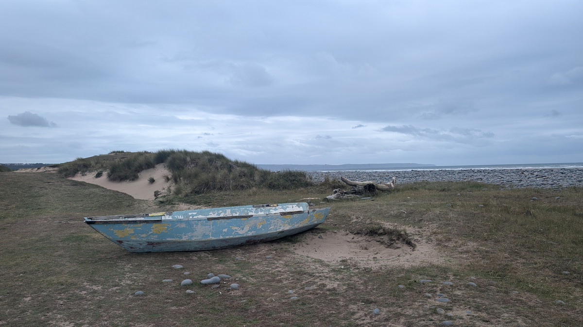
Northam Burrows & The Pebble Ridge
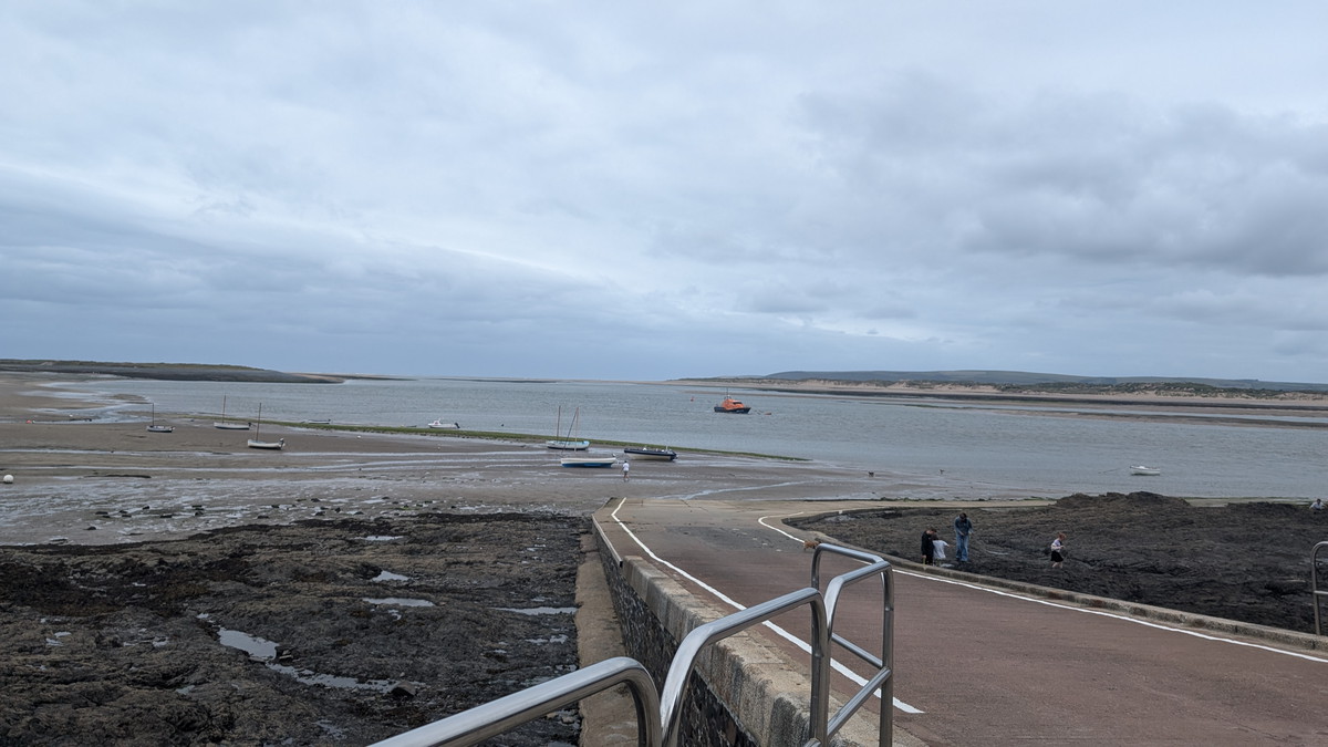
Leaving Appledore, we followed the edge of the Taw-Torridge Estuary as it opened out toward the sea. There are two possible routes at this point—we chose to stick to the road. Although the tide was out and the alternative estuary-side path was accessible, I wasn’t sure what the conditions would be like underfoot.
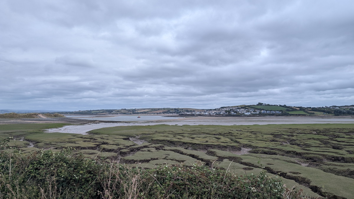
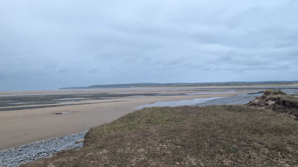
Soon after, we entered Northam Burrows Country Park and followed a loop through its varied landscape of salt marsh, dunes, grassland, and the distinctive Pebble Ridge—a natural shingle barrier continually reshaped by tides and storms. We skirted the edge of the Royal North Devon Golf Club—the oldest links course in England, founded in 1864.
At the northern tip of the Burrows, we paused to look back across the estuary toward the distant headlands we’d followed on earlier stages, the white façade of the Saunton Sands Hotel gleaming clearly on the horizon.
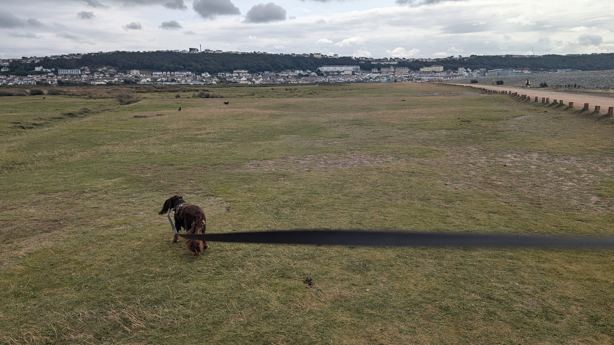
Into Westward Ho!
After rounding the far end of the Burrows, we made our way along the beach, giving Roxie another opportunity to roam off the lead and dash through the scattered pools. We left the beach as we approached the main town.
Walk Summary: Instow to Westward Ho!
- Distance: 19.8 km (12.3 miles)
- Elevation gained: 115 m (376 ft)
- Difficulty: Easy – estuary walking, lanes, and open country park
- Moving Time: 4:13 hrs | Elapsed Time: 5:17 hrs
- Highlights:
- Instow Signal Box – the UK’s first Grade II listed signal box
- Torridge Estuary Path – flat, peaceful walking along the old railway line
- Bideford & Long Bridge – historic port town with a 13th-century 24-arch bridge
- SS Freshspring – preserved steamship and floating museum
- Appledore Village – fishing heritage, shipbuilding, and cobbled Irsha Street
- Taw–Torridge Estuary Mouth – wide views toward Saunton and Baggy Point
- Northam Burrows Country Park – salt marsh, dunes, and the Royal North Devon Golf Club
- Pebble Ridge – natural shingle barrier, ever-changing with tide and storm
- Views to Saunton Sands – distant white outline of the hotel across the bay
- Westward Ho! Beach – broad sands and tidal pools to finish the stage