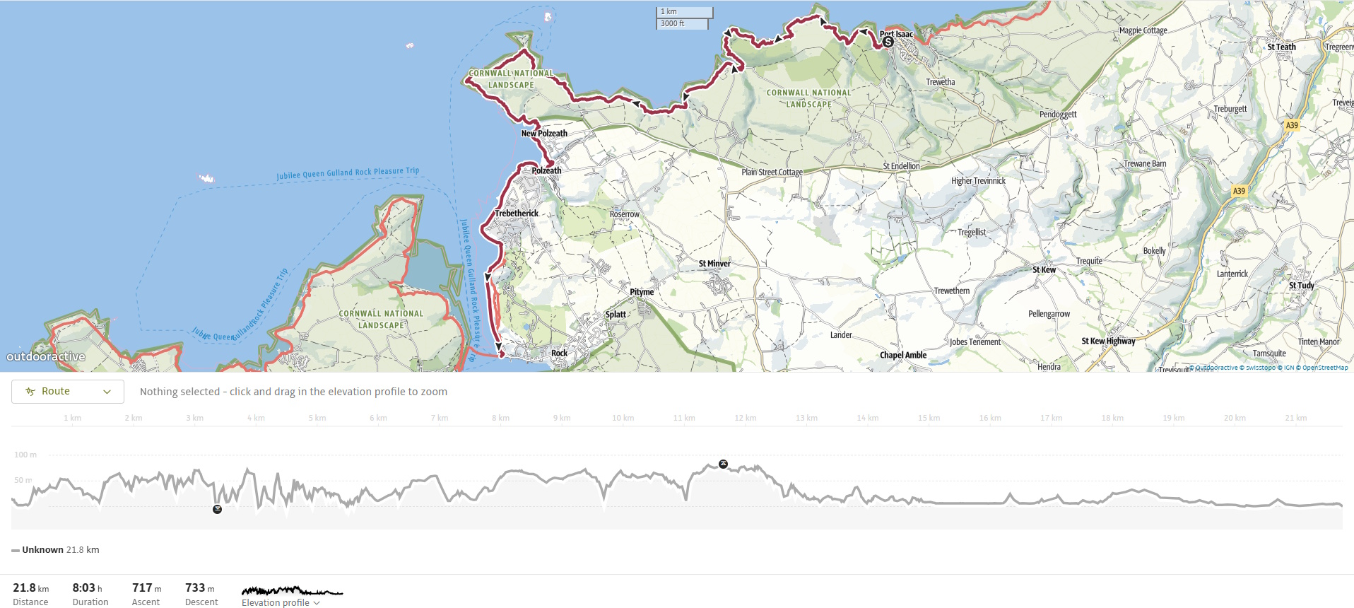
The walk from Port Isaac to Padstow via Rock is a long, varied, and scenic journey along the South West Coast Path, covering around 21 km (13 miles) to Rock and an additional ferry crossing to Padstow. This stretch of coast showcases everything from dramatic headlands and hidden coves to windswept dunes and estuary views, offering a sense of Cornwall’s changing character as the wild cliffs give way to calmer shores. The terrain starts rugged and becomes gentler as you approach the Camel Estuary.
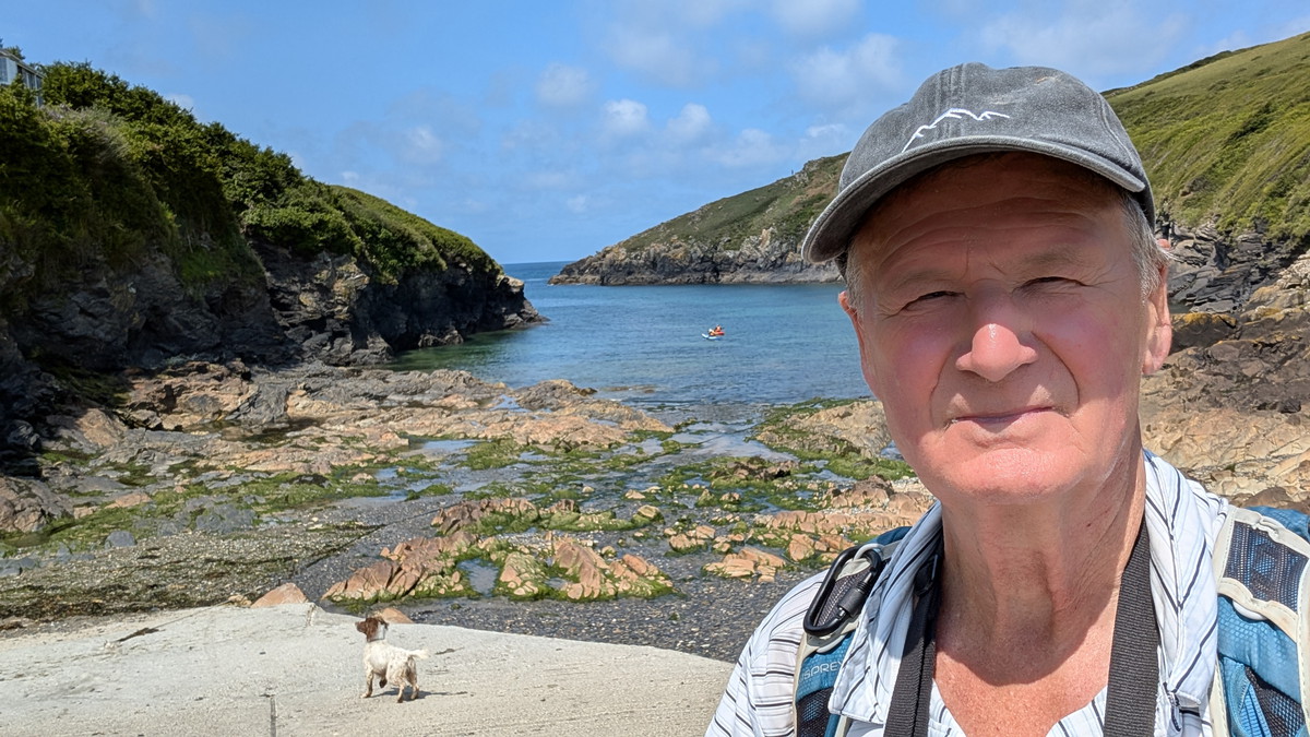
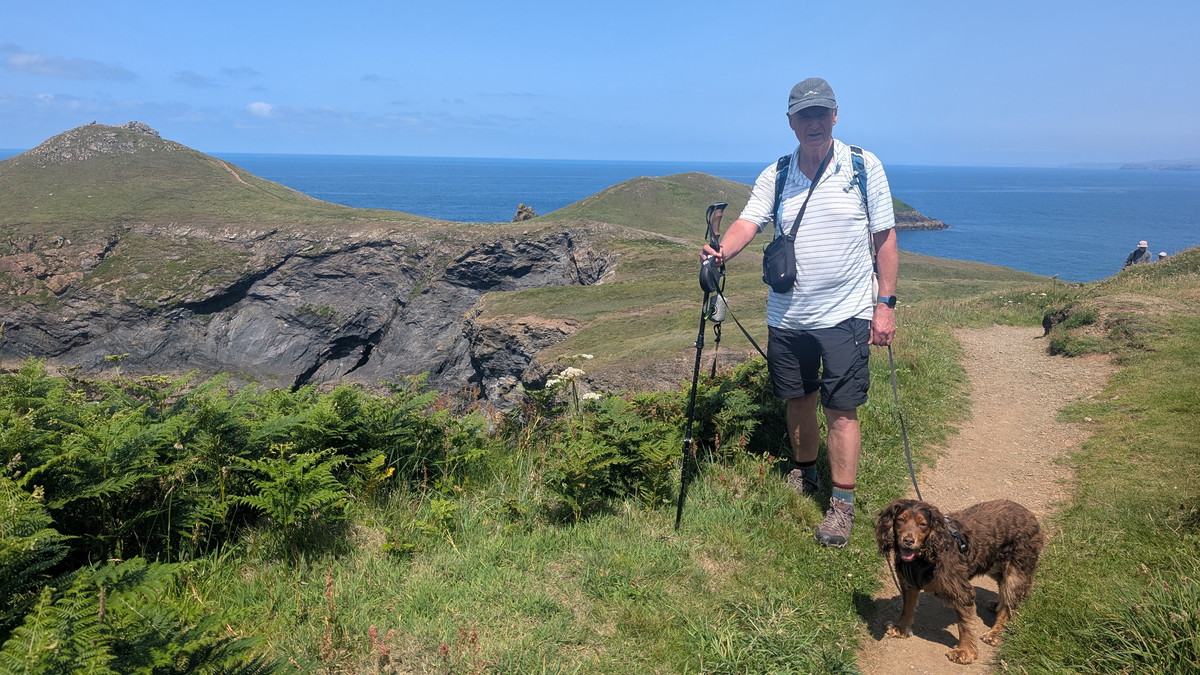
We did this walk with Ben during a family holiday in Padstow so, as we were walking back to the Padstow, logistics were relatively easy.
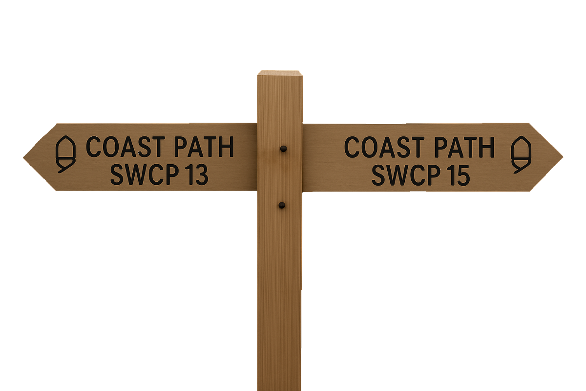
SWCP 14: The Walk
Strenuous—Easy
16 June 2025
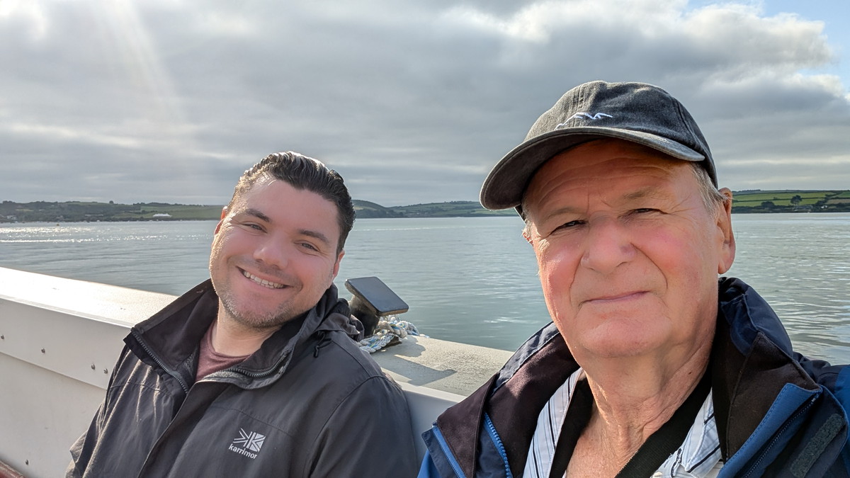
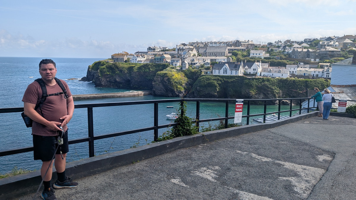
We started the day by walking down to Padstow harbour for the early ferry to Rock. Missing the first boat wasn’t a disaster — it meant coffee and a bacon bap at the “By the Ferry” Café, frequented by locals (and the occasional celebrity chef after his morning swim!). From Rock, we headed inland to catch the bus back to Port Isaac from by by the Clock Garage, ready to walk the full return route.
Port Isaac to Port Quin
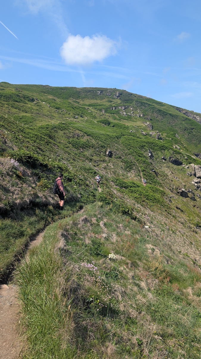
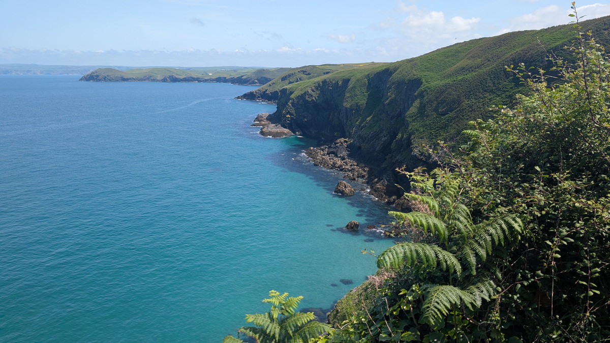
We walked down to the Quayside to start our walk. First we headed up past the old Fish Cellars, one of the early 19th Century pilchard-curing cellars at Port Isaac which is still in use as a fish market. We followed the lane up Roscarrack Hill before climbing up some steps and following the Path around Lobber Point.
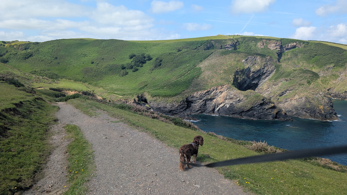
This early climb sets the tone—the first half of the route is a rollercoaster of combes and clifftop trails, with steep climbs and sharp descents as the path weaves along the folded coastline.
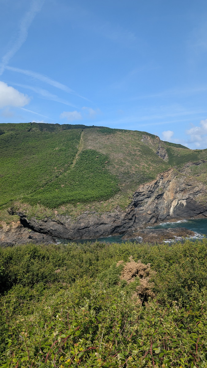
We had a gentle descent down into Pine Haven and then climbed a steep slope the other side. We continued past Varley Head dropped down at Scarnor Point before the climb up at Reedy Cliff. The Path undulated until we rounded Kellan Head and the inlet at Port Quin came into view.
Port Quin is a deserted cove with a poignant history. According to local legend, the village was abandoned after all the men were lost at sea during a storm, although it’s more likely that economic hardship led to its decline.
Doyden Point & Slate Mines
We followed the road uphill from Port Quin until we reached a stone stile, then made our way across Doyden Point, with its folly, ‘Doyden Castle,’ towering above us. This 19th-century folly was built by a local squire for hosting drinking and gambling parties.
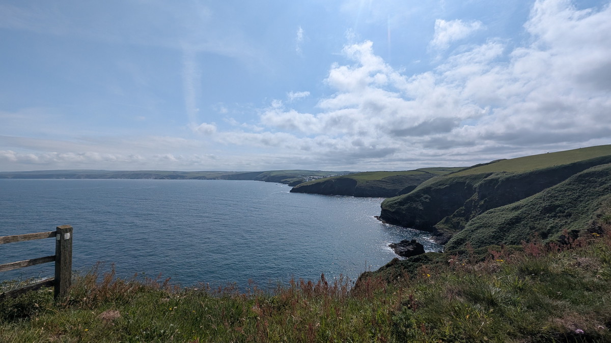
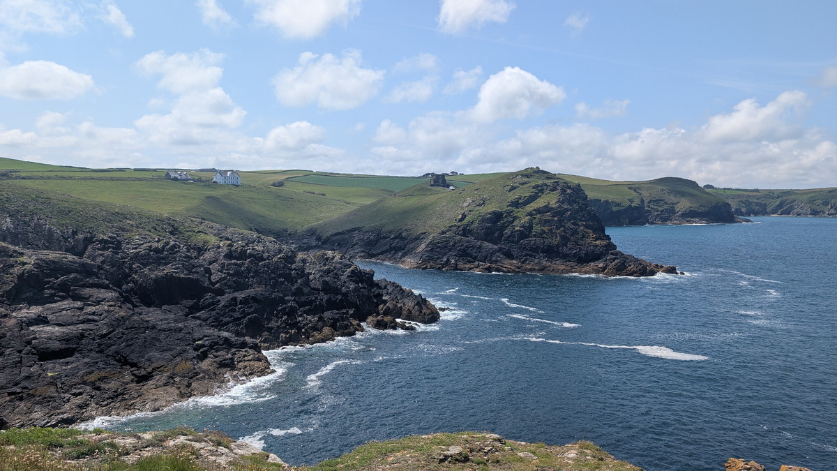
Continuing, we walked between 2 shafts from old Antimony Mines, and followed the slope up to Trevan Point. Descending again, we walked above Lundy Bay- a sheltered rocky beach named for the island it faces. We crossed the access path to the beach and then continued up towards Carnweather Point along a fairly level grassy track.
We descended a little after passing Pengirt Cove before climbing steadily again towards Com Head. We walked on towards the Rumps with The Mouls Rock offshore. We dropped slightly as we reached the narrow neck connecting The Rumps to the mainland.
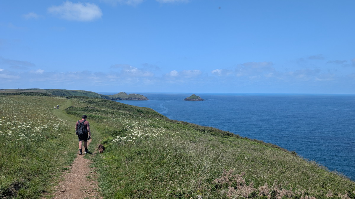
The Rumps & Pentire Point
This twin-headland promontory was once the site of an Iron Age hill fort. The rocky twin “horns” are joined by a narrow isthmus, with the earthworks still clearly visible.. For those interested in exploring further, lines of banks and ditches, along with stone facing, can be seen, as well as paths leading to the tips of the headlands.
We chose to continue, turning south west and climbing again on our way to Pentire Head.
Once there, we had a rest and admired the spectacular views.
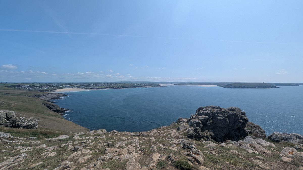
Polzeath to Daymer Bay
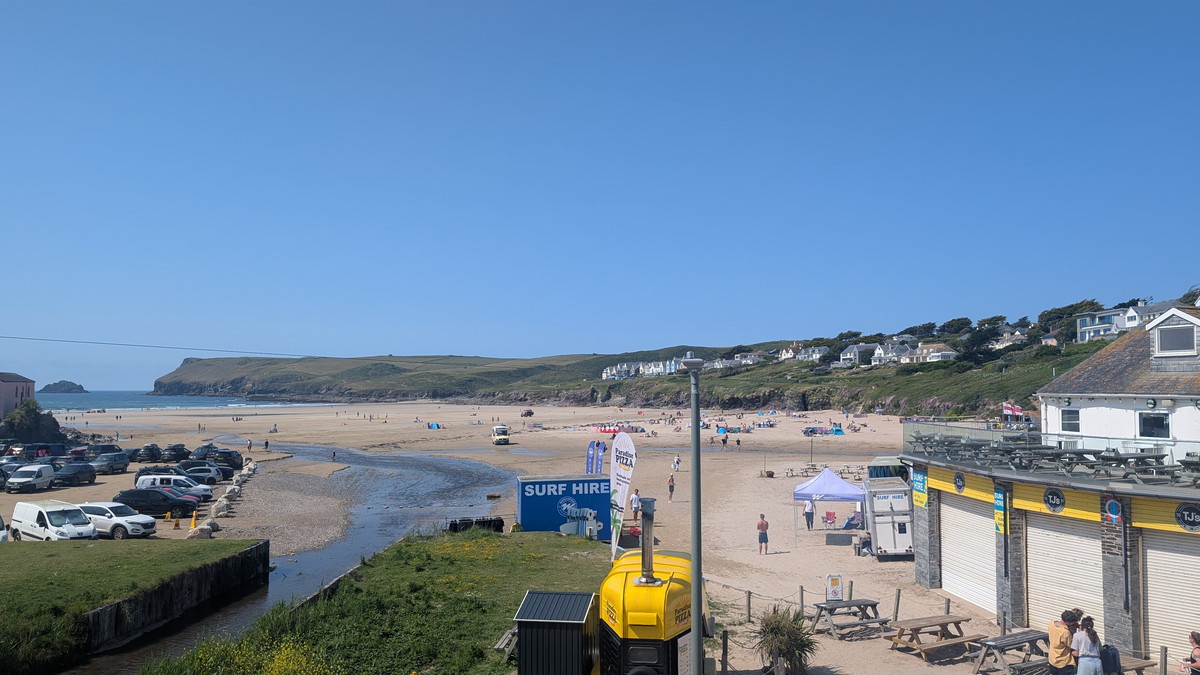
While the end was literally in sight, we were actually only just over half way but the walking ahead was significantly easier. We set off down the gentle, grassy slope. The Path was fairly level though we had the odd creek to navigate down and around. Approaching Pentire Glaze beach we skirted behind it and up on to a road. At this time of year, Roxie is not allowed on any of the beaches around Polzeath. We followed the road then a tarmac path and eventually arrived at the end of Polzeath Beach where we stopped for a drink.
Polzeath is a popular surf destination, and the wide sandy bay is often dotted with wetsuits and colourful boards.
Leaving Polzeath we followed the headland round, eventually dropping down to Daymer Beach.
On another day, we might have taken a diversion inland to St Enodoc’s Church, which was famously buried in sand for centuries and later excavated. The poet Sir John Betjeman is buried there, and his affection for the area is echoed in his writing.
Rock to Padstow
From here we chose to walk along the beach to Rock. The official Path skirts Brea Hill and then follows a route along the edge of the sand dunes next to the golf course.
Rock is an upmarket village known for its sailing, water sports, and second homes. I’ve heard locals call it ‘Chelsea on Sea’!
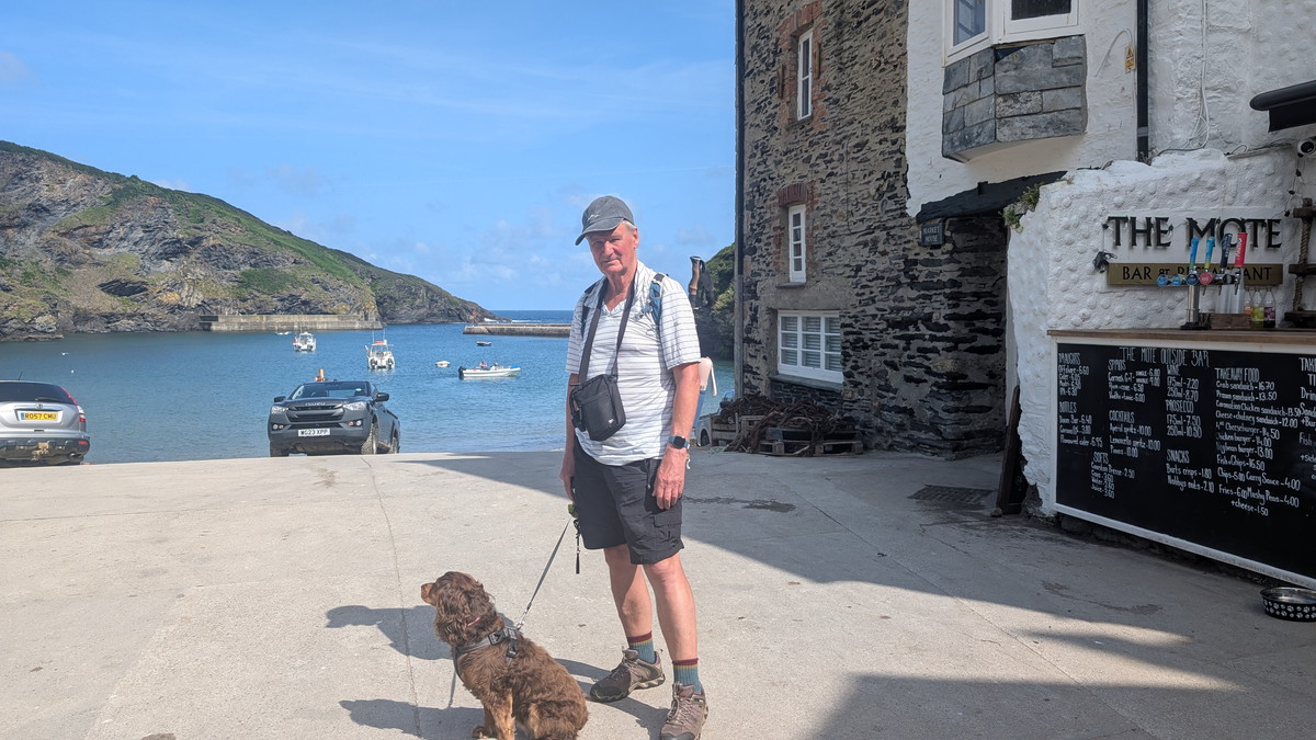
The ferry arrived as we approached Rock, and we were soon crossing the estuary again, back to Padstow. We stopped at The Shipwrights for the customary celebratory drink, then returned to the accommodation in the town.
Padstow is lively and picturesque, with a working harbour surrounded by seafood restaurants, independent shops, and historic buildings. Once a busy fishing port, it’s now best known for its culinary scene, particularly Rick Stein’s seafood empire, and its connection to the Obby Oss May Day festival. The town’s medieval core and old harbour walls give a strong sense of place, while the Camel Trail and estuary views hint at adventures beyond.

This walk offered a transition from Cornwall’s wild cliff coast to the gentler estuary scenery, touching on everything from prehistoric forts to surf culture, abandoned villages, and Victorian eccentricity. It’s a journey through both landscape and time — with a pasty or pint at the end.
Walk Summary: Port Isaac to Padstow
- Distance: 20.2 km (12.6 miles) + short ferry crossing
- Elevation Gained: 695 m (2,280 ft)
- Difficulty: Strenuous start with steep combes, easing to moderate and then easy estuary walking
- Moving Time: 5.29 hrs | Elapsed Time: 86:52 hrs
- Highlights:
- Port Isaac & Lobber Point – harbour start, fish cellars, and steep early climb
- Pine Haven & Reedy Cliff – sharp dips and folded coast views
- Port Quin – abandoned fishing cove with haunting history
- Doyden Point & Castle – 19th-century folly and old antimony mines
- The Rumps – dramatic twin-horned headland, site of an Iron Age fort
- Pentire Point – grassy headland with sweeping estuary panoramas
- Polzeath – lively surf beach and café stop
- Daymer Bay & St Enodoc Church – sand-buried church, Betjeman’s grave
- Rock – sailing and second homes, ferry departure point
- Padstow – bustling harbour town with seafood, shops, and historic character