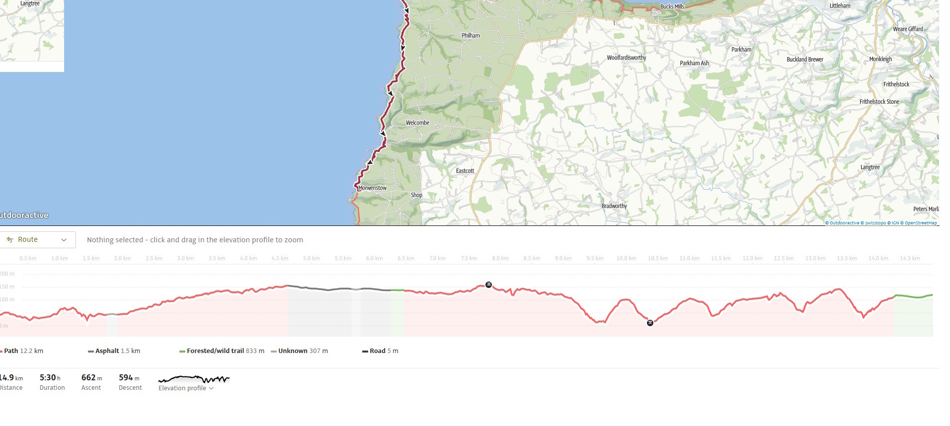
The South West Coast Path from Hartland Quay to Morwenstow is one of the most demanding yet rewarding stretches of the entire trail. Over 15 km (9.5 miles), it carves up and down through hanging valleys, folded cliffs and rugged combes, demanding over 600 metres of ascent in total. With its tilted strata, plunging waterfalls, remote farmland and a string of sharp descents followed by equally steep climbs, it’s a section that tests stamina while rewarding walkers with some of the most dramatic scenery on the British coast.
I chose to split the longer Hartland Quay to Bude stage in two, making Morwenstow a natural and well-earned midway stopping point. Even with this division, the day promised to be challenging and unforgettable.
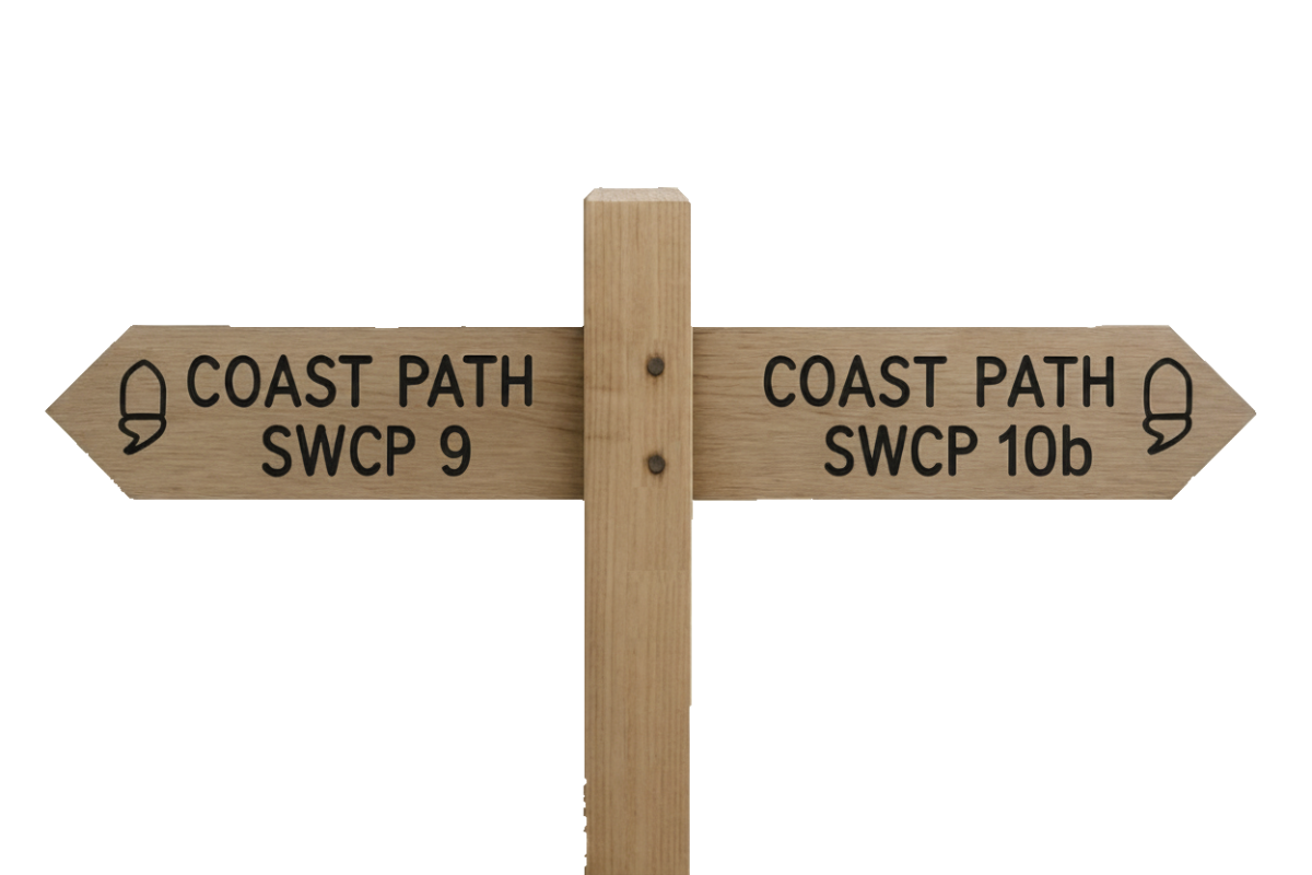
SWCP 10a: The Walk
Challenging—Severe
2 April 2025
 Click to explore in Google Earth 3D
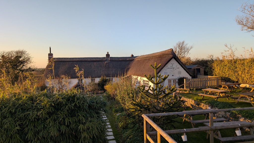
After a night at the Old Smithy Inn, we drove to Morwenstow, ready to be picked up and taken back to Hartland Quay by Rod, the taxi driver.
Setting Out from Hartland Quay
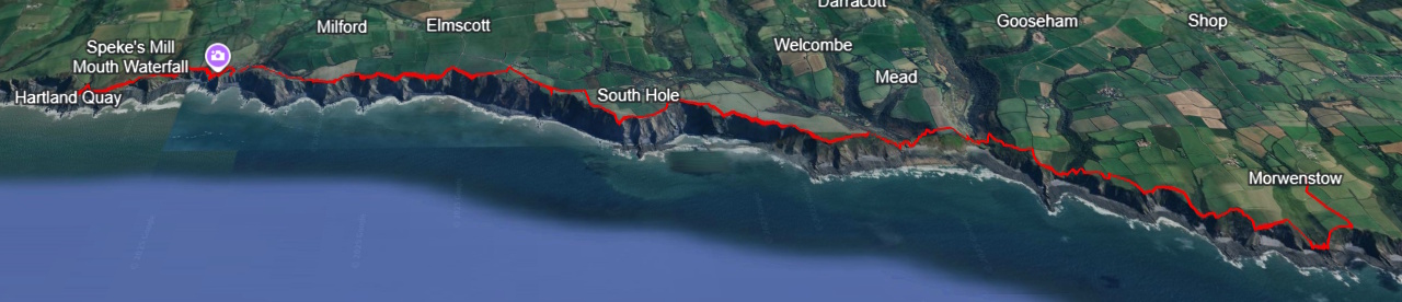
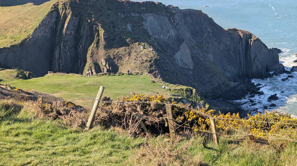
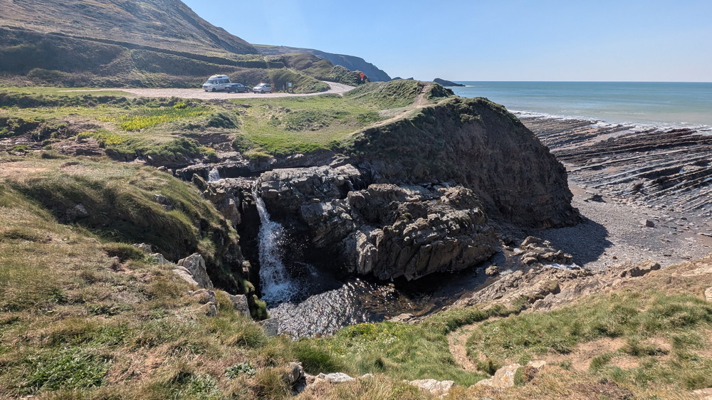
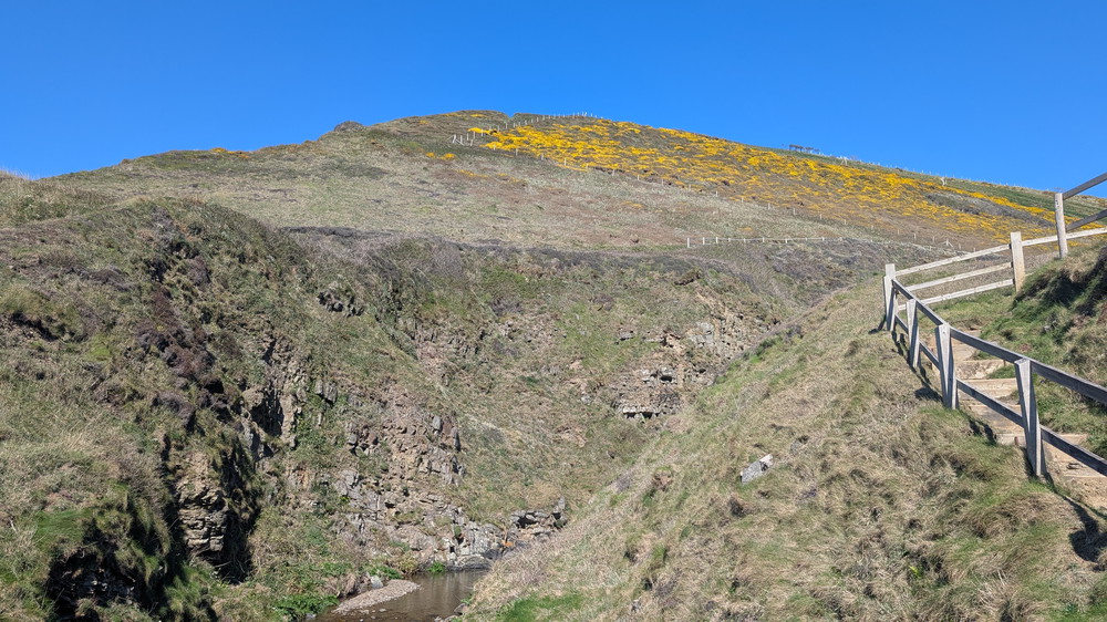
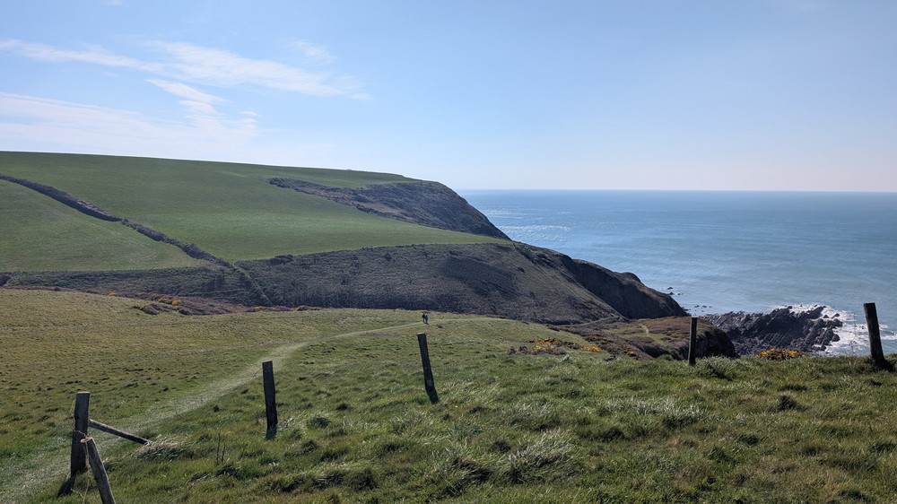
We began at Hartland Quay on a cool, breezy morning. The car park above the old hotel sits dramatically perched on slate cliffs, and from the first steps, the sense of isolation and scale was clear. The path rose steadily before dropping down behind St Catherine’s Tor, where the Spekes River once flowed. Centuries of coastal erosion have left this as a hanging valley, with the river now tumbling over the cliffs to the sea further down the coast.
St Catherine’s Tor is situated at the side of a sea-dissected valley, a rare geological feature. Spekes River once ran along the foot of the Tor and along the valley past Hartland Quay. The sea has eroded part of the land, so the river now flows over a waterfall into the sea, further up the coast.
Spekes Mill Mouth – Waterfalls and Hanging Valleys
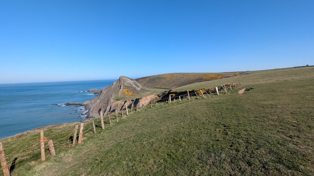
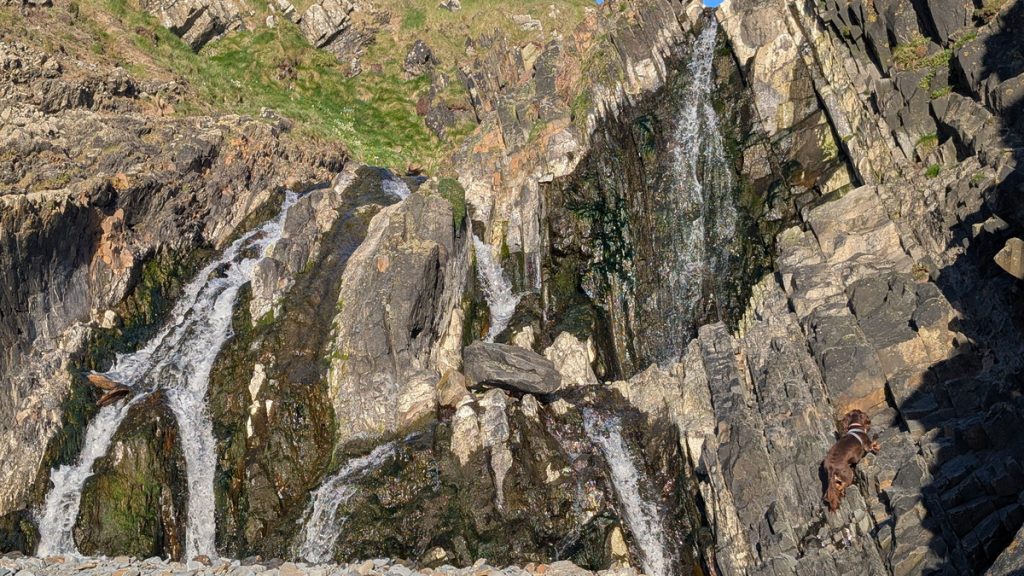
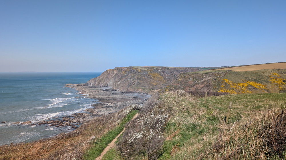
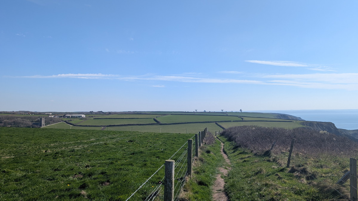
After passing the Tor, we crossed the pastures and climbed up again. A zigzag descent led us into Spekes Mill Mouth, where a waterfall plunges 17 metres (54 ft) directly onto the beach. It’s one of the most dramatic coastal waterfalls in England and a textbook example of a hanging valley. After exploring the falls and finding an alternative crossing point, we climbed inland through bracken and heather behind Swansford Hill before rejoining the cliff tops with wide views back along the coast. From there, the path hugged the cliff tops for some time, passing the edge of Milford Common above Mansley Cliff, before the path turned inland and joined the road. After a short section on the road, we headed back towards the cliff top and walked onward to Nabor Point.
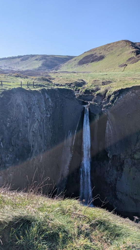
Speke’s Mill Mouth features a series of waterfalls, with the main one cascading approximately 17 metres (54 feet) down. It is frequently considered one of the most dramatic coastal waterfalls in England.
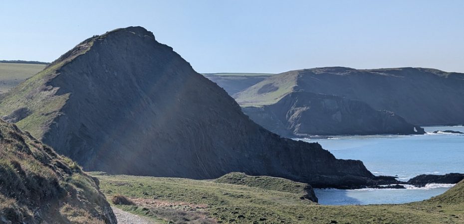
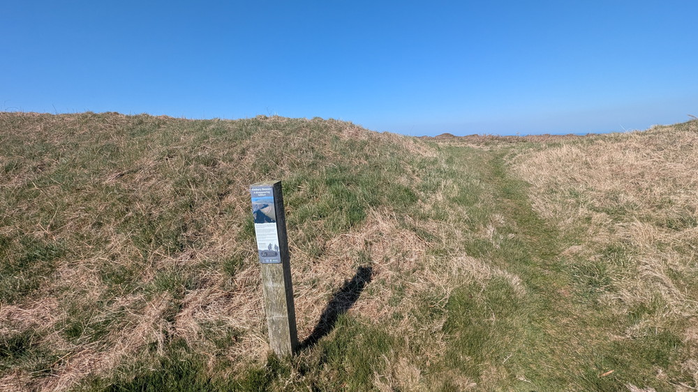
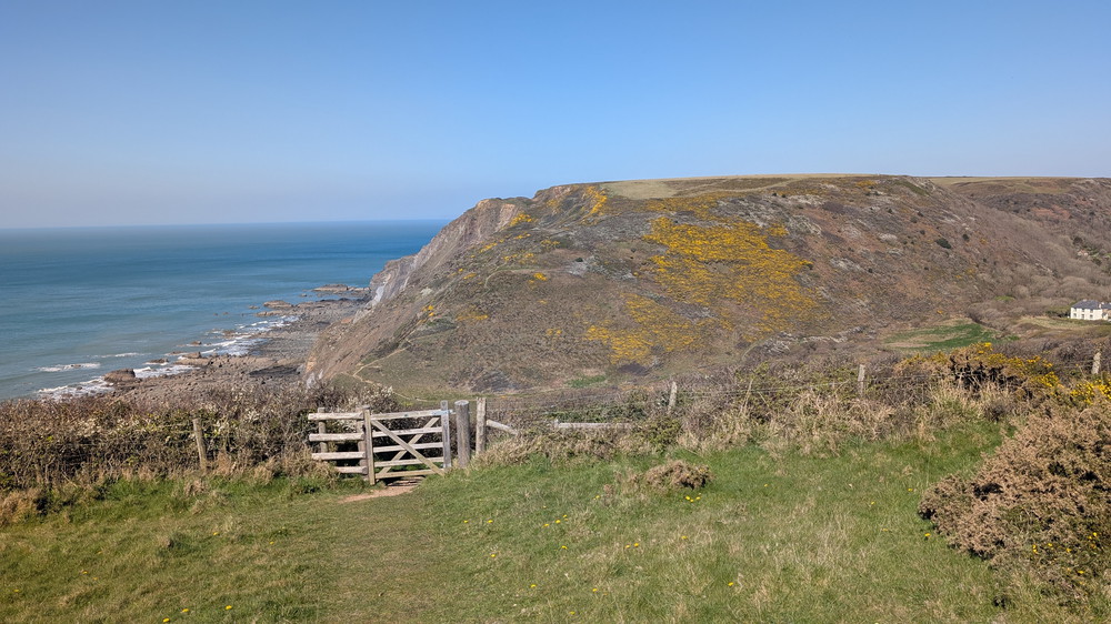
Embury Beacon and Welcombe Mouth
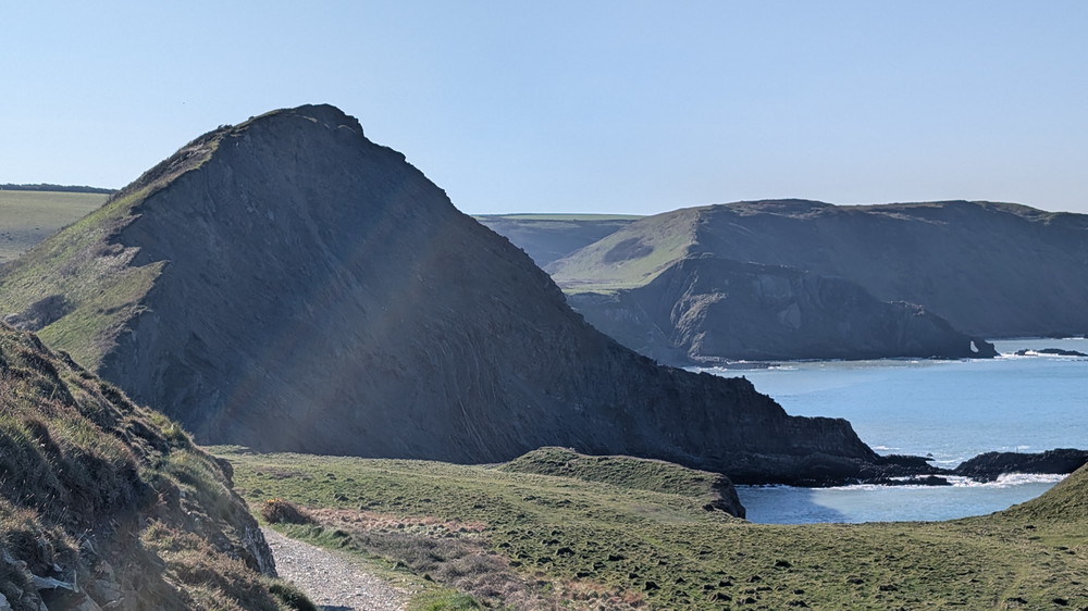
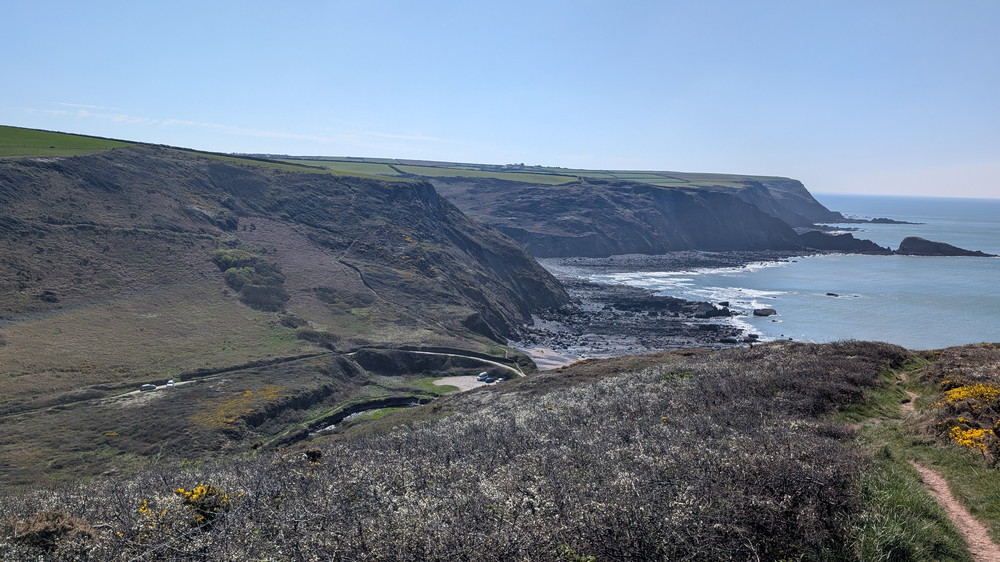
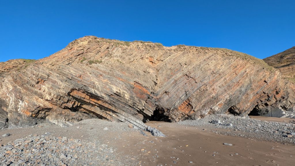
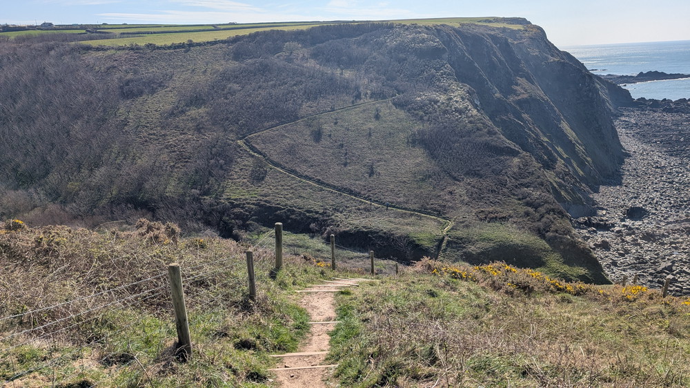
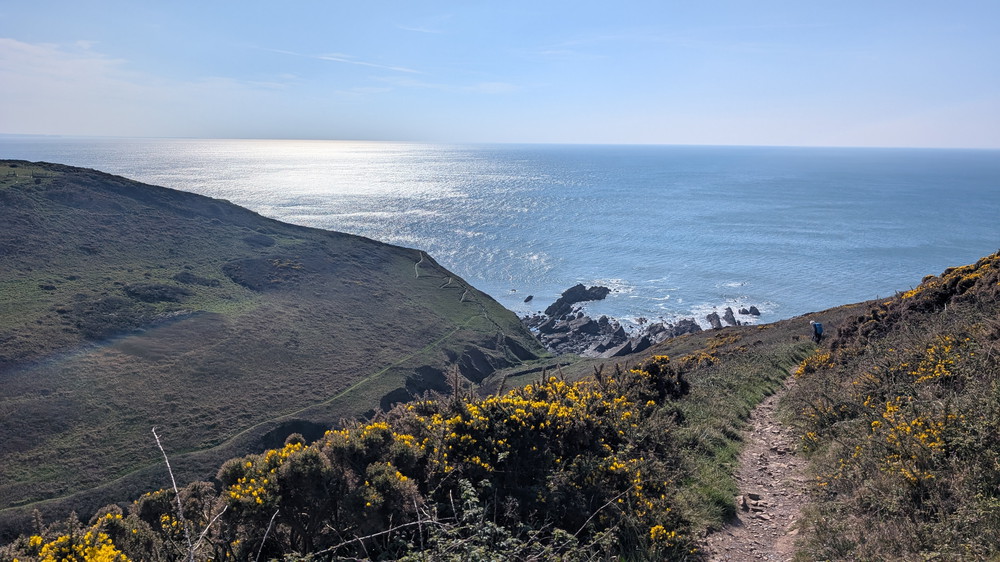
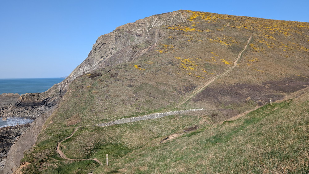
The Path climbed steadily to Embury Beacon, an Iron Age hillfort whose grassy earthworks still crown the headland. From there, the Path took us across more open ground before reaching the first of our major descents and climbs. We dropped steeply to Welcombe Mouth, another striking hanging valley with another impressive series of waterfalls. Its beach reveals spectacular folded rocks of the Crackington Formation, tilted and buckled like frozen waves.
We didn’t go down to the beach this time as we’d been there on the previous day—we were, after all, staying up the valley in Welcombe itself—but paused for a rest before tackling the long climb out. This was our first big climb–the first of 5!
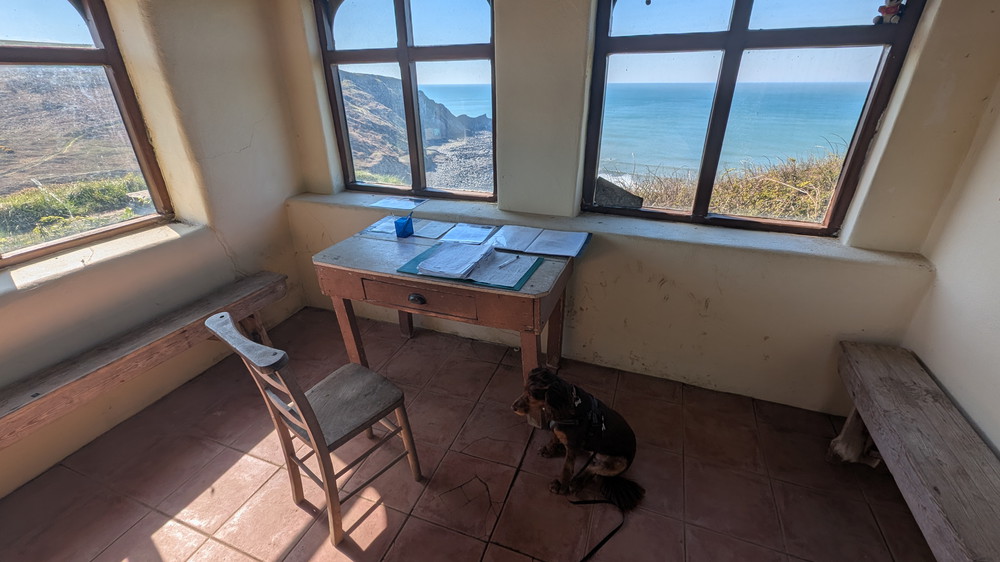
After a tough climb of about 110 metres (350 feet), we were rewarded with a view of Ronald Duncan’s writing hut, which sits right beside the Path. The small, stone building contained his desk and chair positioned under a window. On one wall, an information board offered some fascinating facts about the prolific but little-known writer.
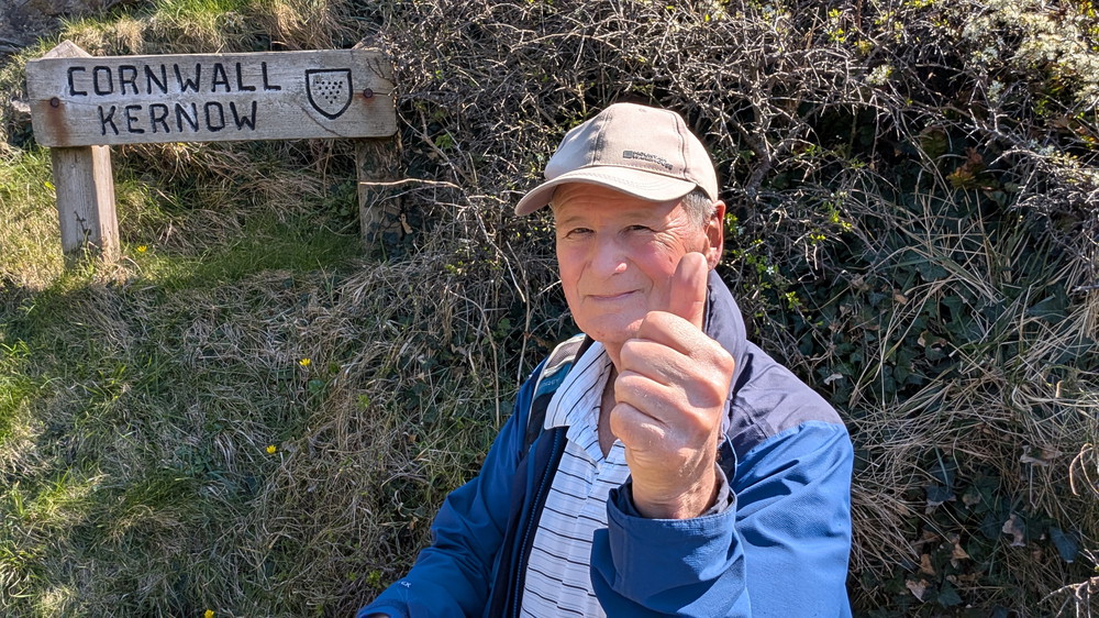
Marsland Mouth – Crossing into Cornwall
From there, things got even more rugged. Another plunge brought us to Marsland Mouth, where a wooden bridge crosses the stream marking the Devon–Cornwall border. It’s another deeply incised valley, with its own hanging valley shape. The climb out was steep,
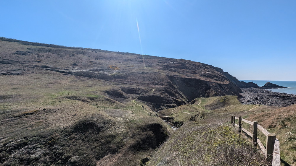
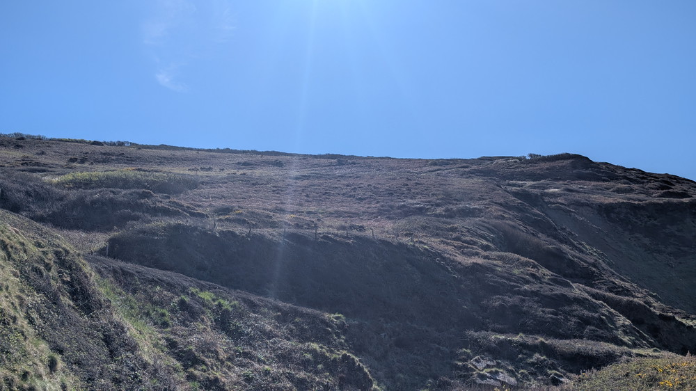
Litter Mouth, Yeolmouth and the Relentless Valleys
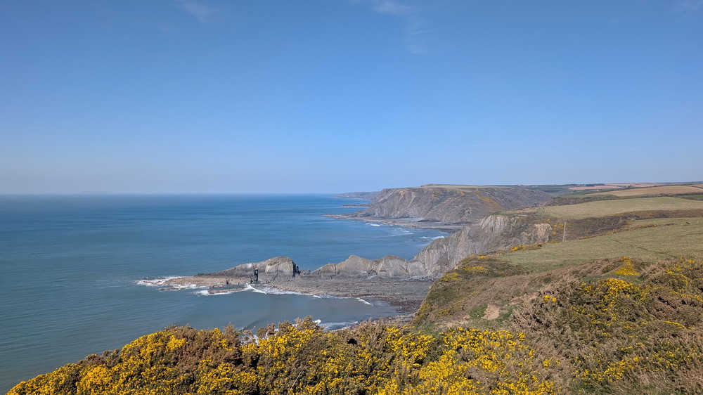
The rhythm of the day continued: a descent, then another sharp climb. At Litter Mouth, Gull Rock, and the Devil’s Hole stretched out into the sea. At Yeolmouth, a spring cascades over the rock ledges into the sea. Each valley was different, but each one demanded energy.
The Final Push into Morwenstow
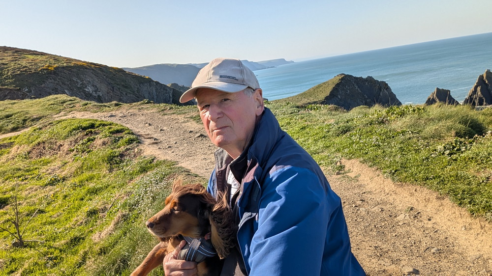
Approaching Morwenstow, we faced one last punishing descent down into Morwenna Valley and climb up Vicarage Cliff. The downhill stretch was incredibly steep. It was a hot day, and Roxie had learned that a stream and a chance to paddle awaited at the bottom of every valley. Her eagerness to get down pulled at one end of the lead, and with my footing on the loose stones, a fall was bound to happen. I slipped and ended up on my backside!
This is where Robert Hawker, the Victorian vicar of Morwenstow, used to walk and hold open-air sermons.
After climbing up Vicarage Cliff, we turned inland for the last half mile or so to the car, which was parked opposite Morwenstow Church, a welcome sight after nearly 11 miles of tough walking.
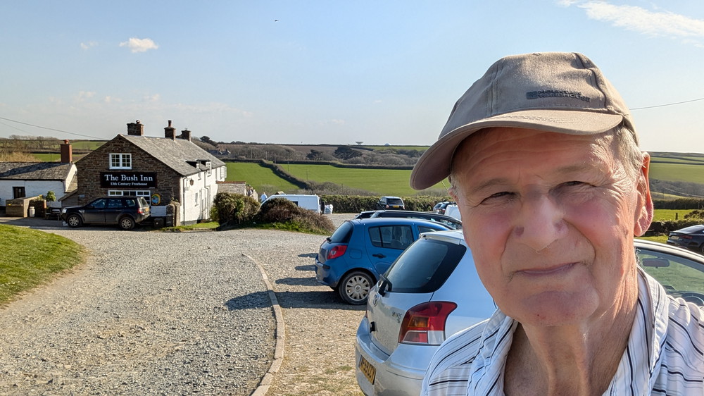
The church is beautiful—medieval, Grade I-listed—and Hawker’s thatched vicarage stands just nearby. There is a ‘holy well’ in the garden and also a renowned tea room across the way, but we headed up the lane for the 13th-century Bush Inn.
Strangely, we found ourselves part of a funeral wake! It was definitely not a sombre affair; clearly a celebration of a popular resident’s life. I have to say that it is the first time I have been at a funeral wake where, although many of the attendees wore suits, many were in wellies and shorts! Nevertheless, it was a wonderful event and we had a great time chatting to people.
A Day of Cliffs and Combes
By the end of the walk, we’d clocked up over 600m (2,000ft) of ascent — one of the toughest days on the South West Coast Path. Yet it was also one of the most rewarding: the cliffs, the hanging valleys, the wildlife, and the constant sense of deep history made it unforgettable.
Walk Summary: Hartland Quay to Morwenstow
- Distance: 15.2 km (9.5 miles)
- Elevation Gained: 625 m (2049 ft)
- Difficulty: Severe – relentless steep valleys, exposed cliffs, remote terrain
- Moving Time: 4:02 Elapsed Time: 6:17
- Highlights:
- Hartland Quay – rugged start point on slate cliffs, once a port
- St Catherine’s Tor – dissected valley and rare geological feature
- Speke’s Mill Mouth – first big descent with 17 m coastal waterfall
- Swansford Valley – sheltered inland climb through bracken and heather
- Embury Beacon – Iron Age hillfort with wide sea views
- Welcombe Mouth – third descent with waterfalls and folded rocks
- Ronald Duncan’s Hut – poet’s cliff-top writing retreat
- Marsland Mouth – fourth descent at the Devon–Cornwall border
- Litter Mouth – slate-pebbled cove with short steep climb
- Yeolmouth – final descent with spring-fed waterfall and rare plants
- Morwenstow – medieval church, Hawker’s vicarage, and the Bush Inn