The South West Coast Path from Newquay to Perranporth is a stunning stretch of Cornwall’s north coast, blending lively surf beaches with quiet coves, rolling dunes, and dramatic cliffs. This section has a little of everything — from historic fishing lookouts to tidal estuaries, from wildlife-rich headlands to vast sandy bays — making it one of the most varied and memorable stages of the trail.
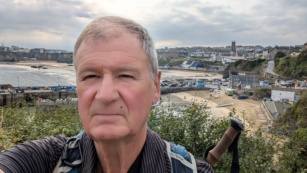
We travelled down the night before and stayed at the Jasmine House Guest House in Newquay. The next morning, we had an early start for the short drive to Perranporth, where we parked in the Wheal Leisure car park. The Beach car park might have been more convenient, but after reading the reviews, I chose to use the Cornwall County Council car park instead. The bus to Newquay stopped by the car park and dropped us off pretty much where we’d finished in Newquay on the previous stage.
SWCP 17: The Walk
Moderate —Moderate
20 August 2025
Setting Out from Newquay
We had stayed the night at Jasmine House Guest House in Newquay, giving us a short morning drive to Perranporth where we left the car at the Wheal Leisure car park. From there, the bus dropped us almost exactly where we had finished the previous day’s walk.
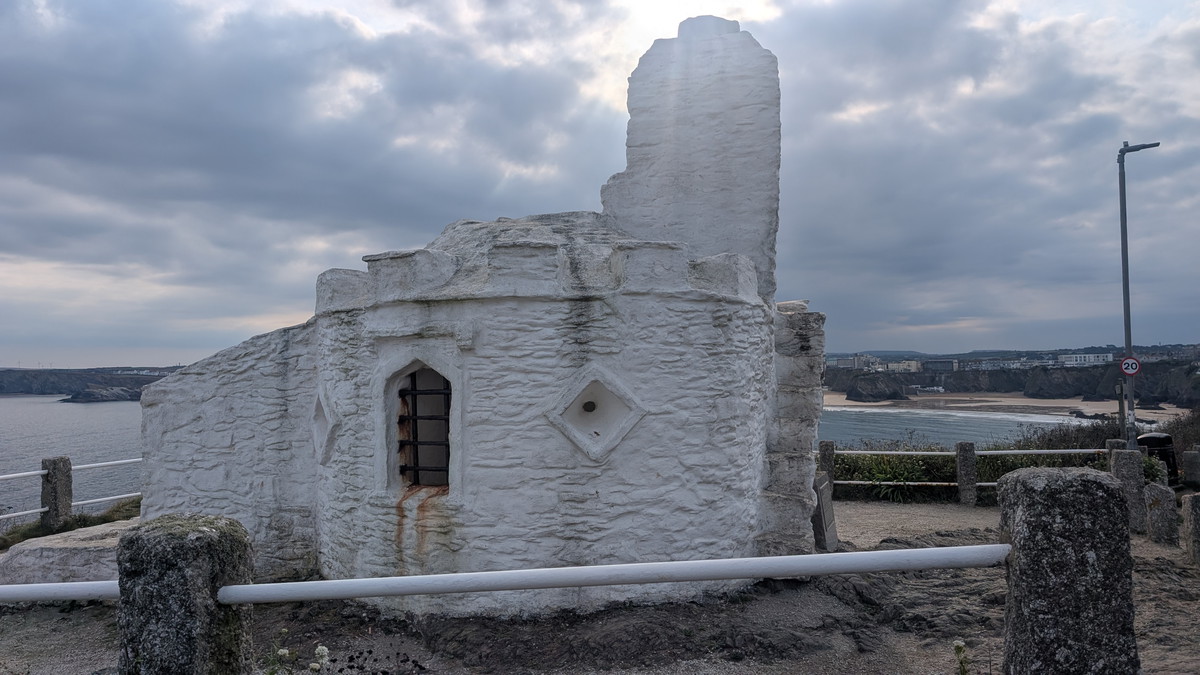
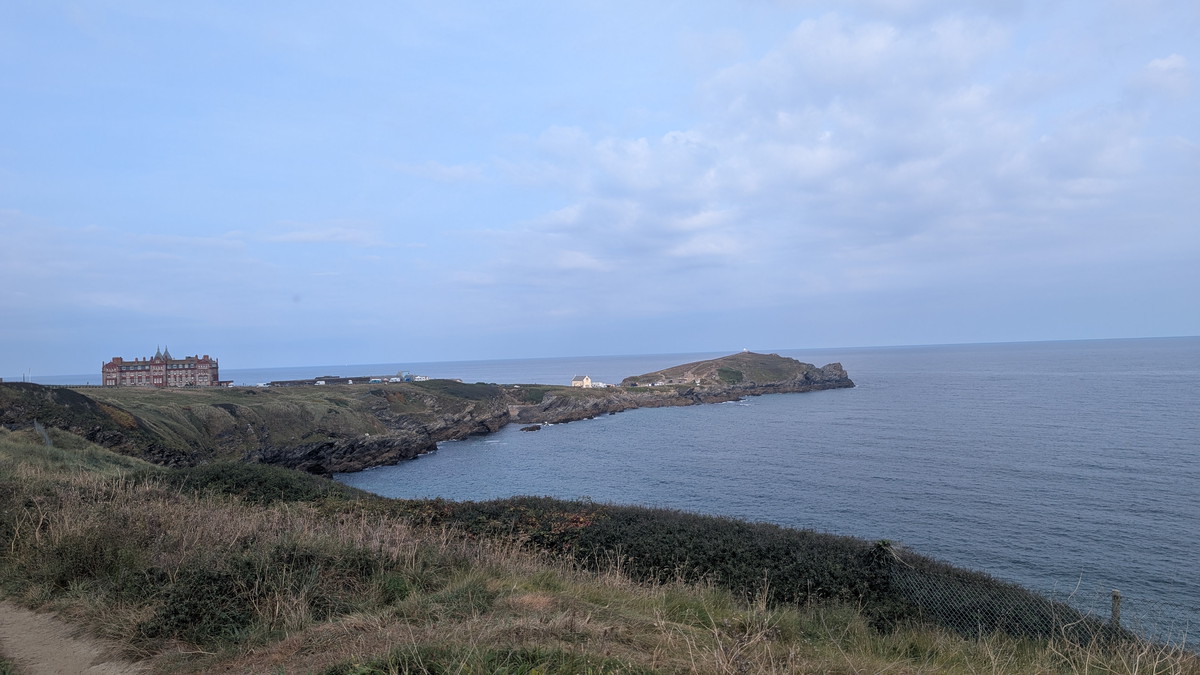
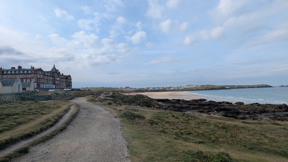
The route began through the town, climbing Fore Street past cafés and food outlets before dropping down by the harbour. Above the bay stood the whitewashed Huer’s Hut — once the lookout where fishermen kept watch for pilchard shoals, raising the cry of “Hue!” to alert the village. From here, the path curved towards Towan Head, passing beneath the war memorial and skirting the elegant Headland Hotel before dropping behind the busy restaurants at Fistral Beach.
Across Pentire and the Gannel
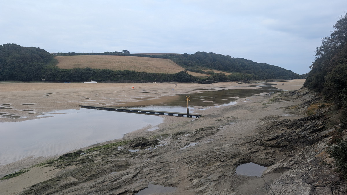
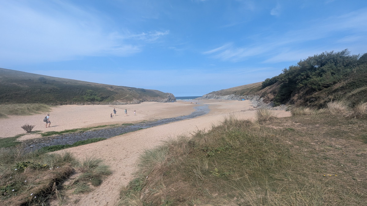
Instead of taking the official Coast Path inland, we chose the more rewarding line around Pentire Headland. The trail circled holiday homes and the Fern Pit Café before threading down through dense vegetation to the Gannel estuary. At low tide, a boardwalk crosses the sands, but Roxie raced happily ahead to prove it wasn’t essential.
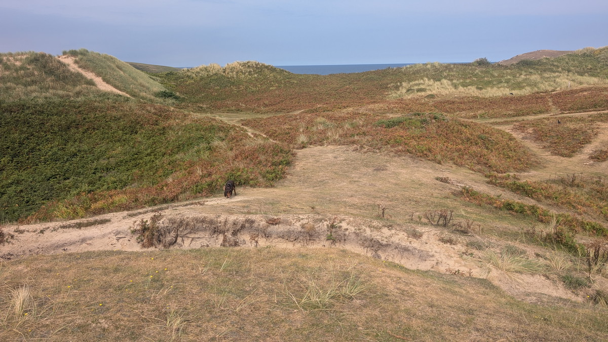
Once across, we headed up the side of a creek before turning and walking on a hillside above the estuary, emerging behind Crantock Beach. Here, the Coast Path passes busy car parks and then enters rolling dunes — a playground for Roxie and a striking contrast to the rocky cliffs left behind.
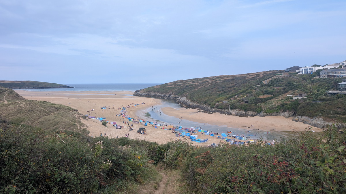
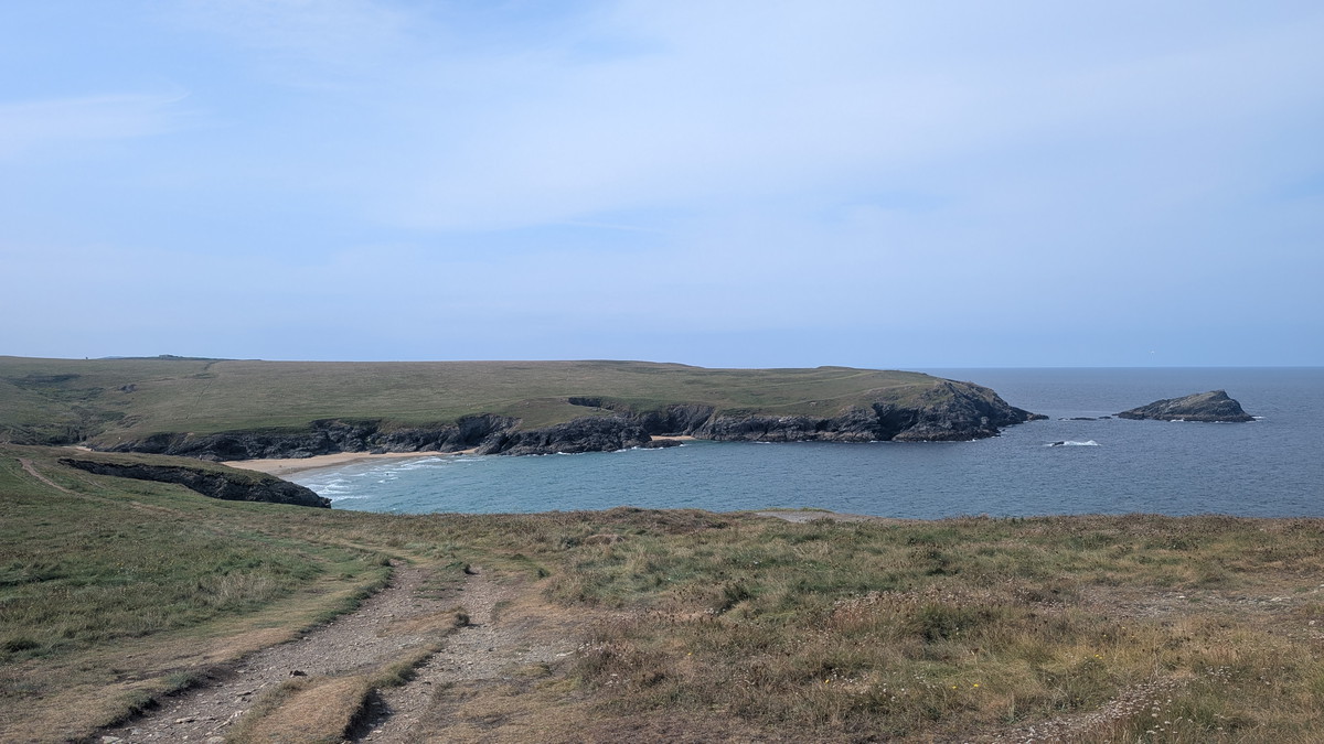
Porth Joke and Holywell Bay
Beyond the dunes, the path curved around West Pentire Point and dropped gently to Porth Joke, more fondly known as “Polly Joke.” A quiet cove with a name rooted in the Cornish for “Jackdaw Cove,” it remains a favourite with locals.
After crossing a footbridge at the back of the beach, we climbed up to Kelsey Head and then down again into the dunes behind Holywell Bay.
The official Coast Path threads through the dunes, but we detoured onto the beach to give Roxie another run. Unfortunately, the rising tide had already cut off access to St. Cuthbert’s Cave, leaving that visit for another day.
At the northern end of Holywell Bay lies St. Cuthbert’s Cave, a tidal grotto where mineral-rich springs have stained the walls with vivid green, red, and orange hues. Accessible only at low tide, the cave was once believed to hold healing waters and has long been linked to local folklore and legend, adding a touch of mystery to this already dramatic stretch of coast.
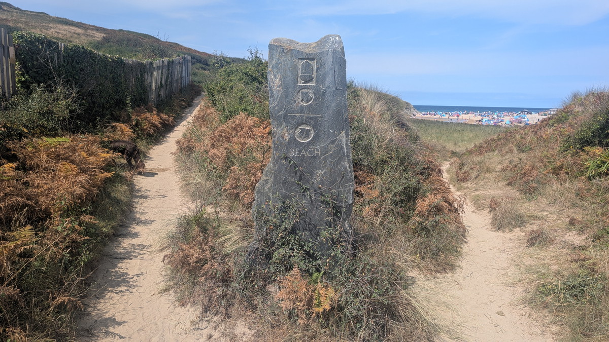
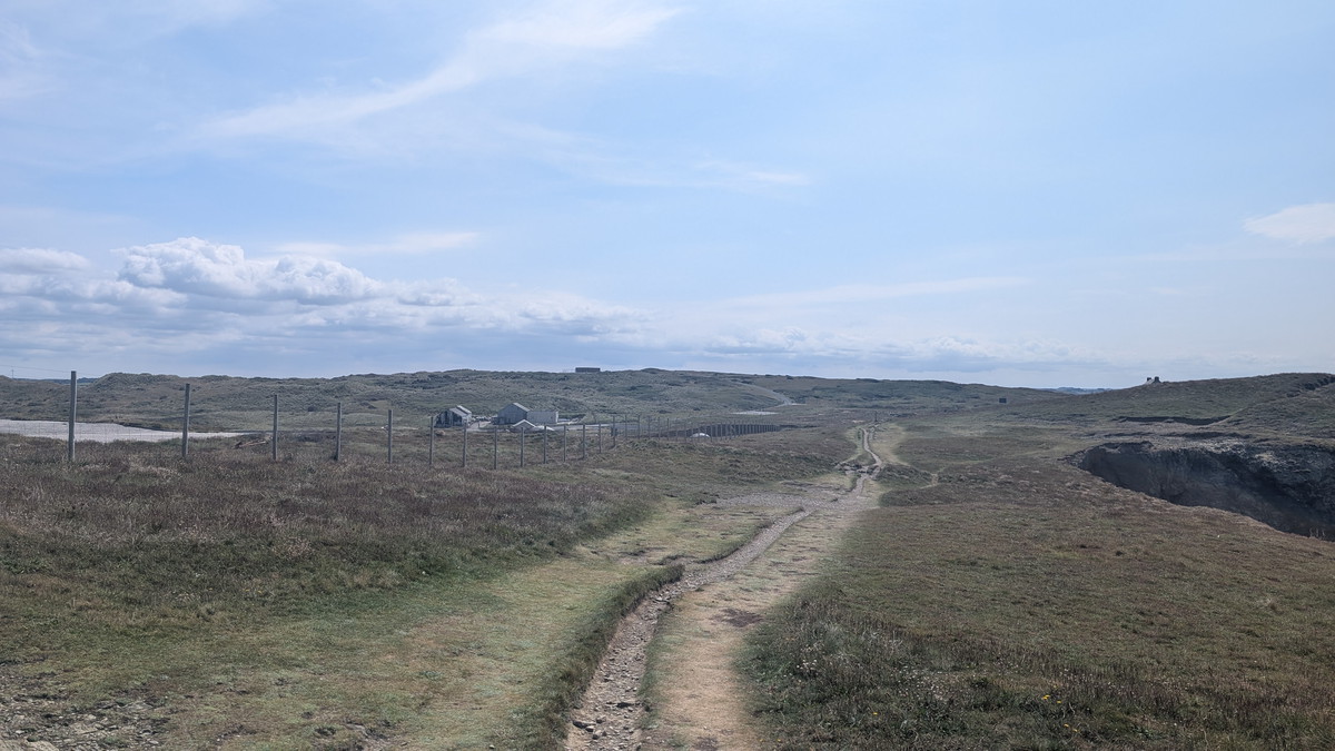
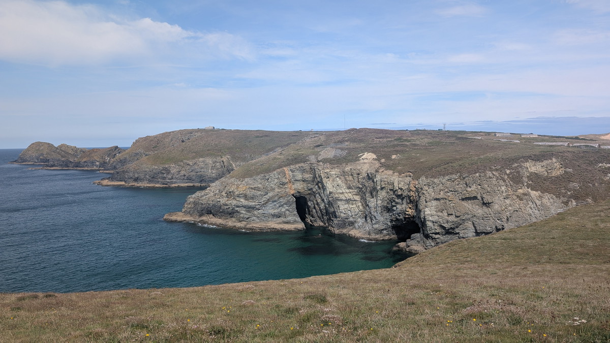
Penhale Point and the MOD Land
Leaving Holywell Bay, we passed an imposing stone marker before climbing towards Penhale Point. Signs warned walkers to stay on the trail as MOD land lay inland, but the path was dramatic enough on its own, passing deep zawns and the remains of Wheal Golden mine. An isolated house, once the miners’ counting house, now stands within the restricted military zone.
The cliffs here also expose an Elvan Dyke, a seam of fine-grained granite once sought for its minerals. It’s a reminder of how deeply geology and mining shaped this coast.
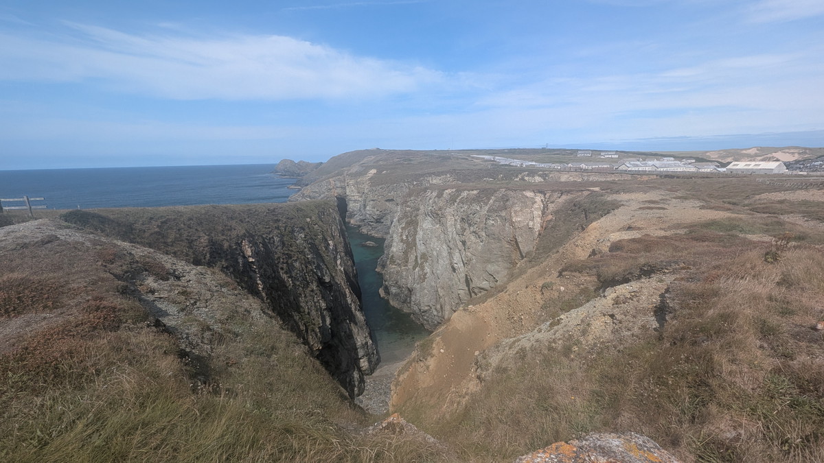
Elvan Dyke is a geological feature in Cornwall, formed by magma intruding into existing rock and solidifying. Composed of fine-grained granite, these dykes are often associated with the region’s mining history and may contain valuable minerals like tin and copper.
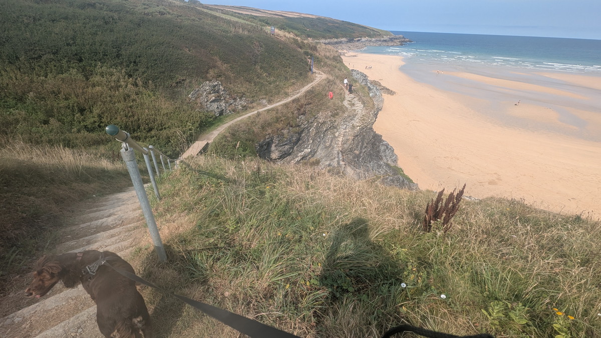
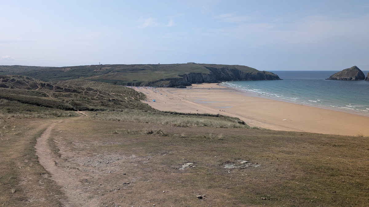
Along Perran Sands to Perranporth
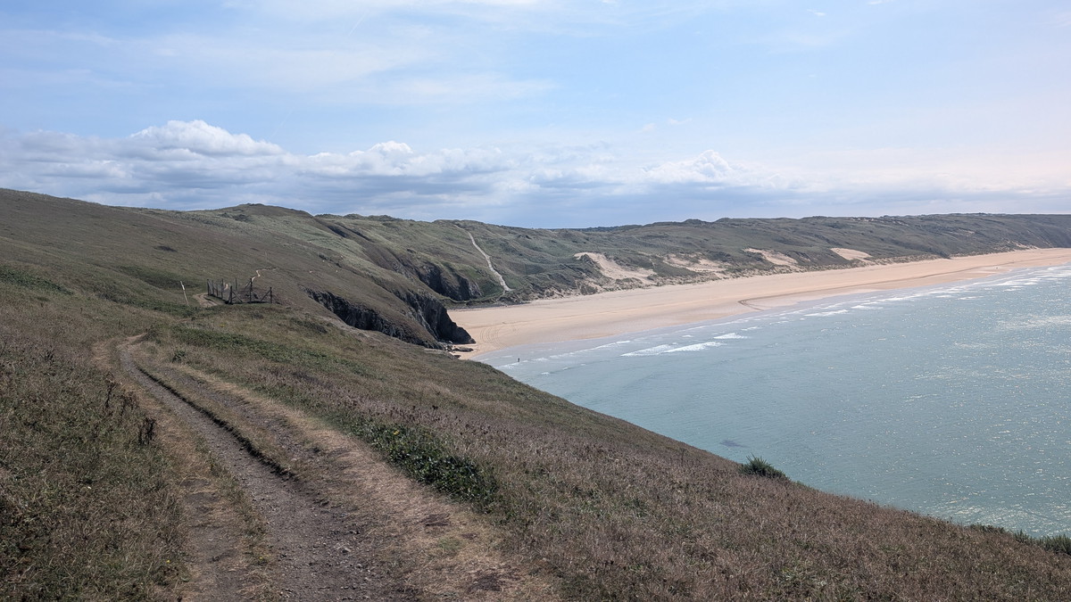
Beyond Ligger Point, the route dropped to the long sweep of Perran Sands. At high tide the beach almost disappears and the Coast Path diverts inland through the dunes, but we were lucky to find the sand firm and walkable. The beach was nearly empty save for a rider on horseback and a few couples by the cliffs.
Further on, the crowds thickened where the beach is overlooked by the caravan site. With the tide pushing in, our route along the sand soon vanished, and we climbed back onto the cliff, rejoining the Coast Path as it dropped towards Perranporth.
By the time we reached the busy resort beach, the tide had pushed visitors together, but dogs were welcome on leads, so Roxie could enjoy the final stretch. We celebrated with a drink at the Tywarnhayle Inn before heading up to the car park — a fitting end to a day of dunes, coves, and sweeping sea views.
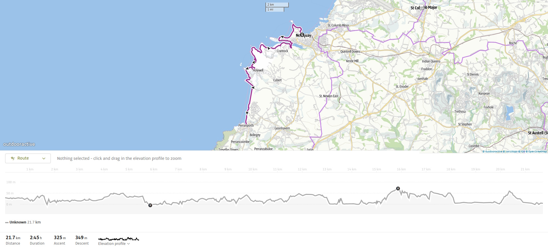
Walk Summary: Newquay to Perranporth
- Distance: 23.1 km (14.4 miles)
- Elevation gained: 475m (1558 ft)
- Difficulty: Moderate – some long sandy sections and short climbs
- Moving Time: 5:13 hours Elapsed Time: 6:50 hours
- Highlights:
- Newquay Harbour & Beaches – working harbour and town beaches
- Fistral Beach – world-famous surf spot with Headland Hotel views
- Pentire Headland – wild headland above the Gannel Estuary
- Gannel Estuary – tidal crossing near low tide
- Crantock Beach – broad sandy bay framed by dunes
- West Pentire & Polly Joke – wildflower meadows and sheltered cove
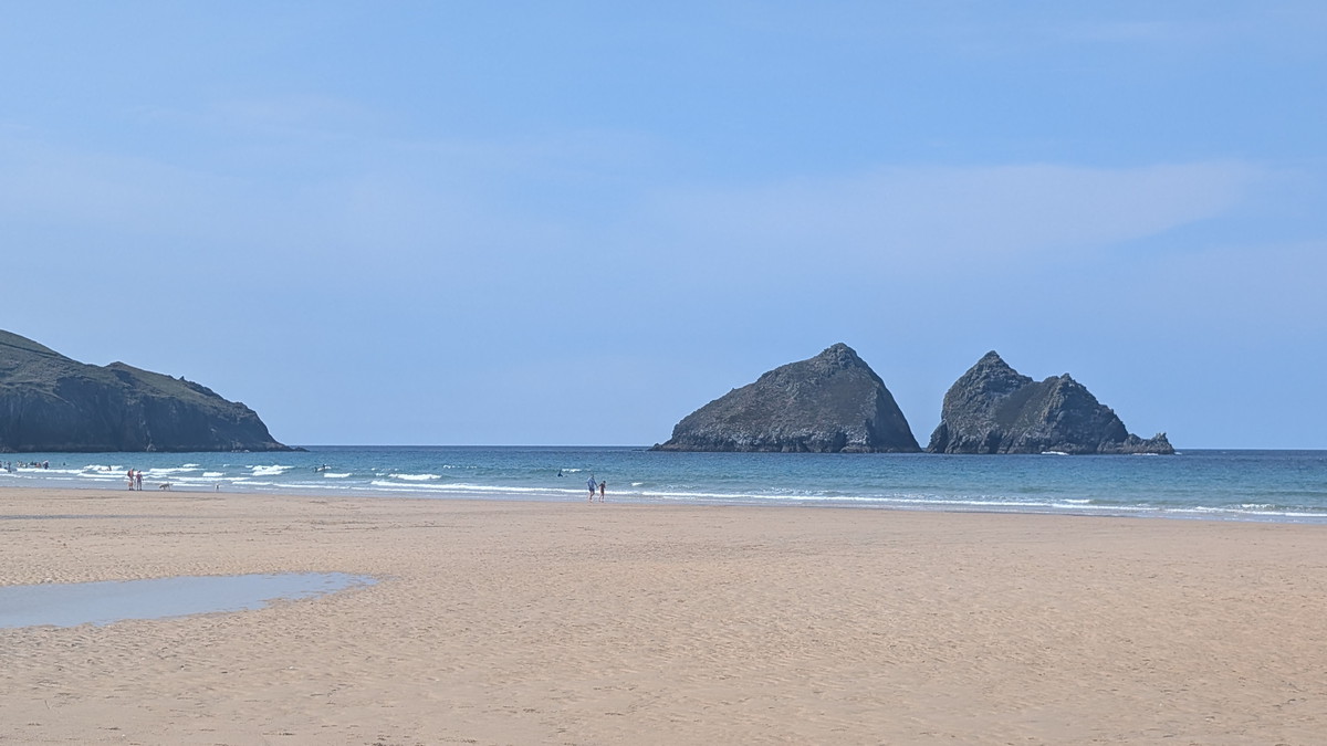
- Holywell Bay – sweeping sands, Gull Rocks, and caves at low tide
- Penhale Sands – vast dunes with St Piran’s Oratory remains
- Perran Beach – three miles of sand leading to Perranporth
- Perranporth – surf town with pubs and Chapel Rock tidal pool
