Porlock Weir to Lynton is a rollercoaster of ascents and descents, often through ancient oak woods, up to moorland ridges, and then sharply down into steep-sided valleys or “combes”. It’s a highly varied walk, with some of the finest cliff-top walking in Britain.
Romantic poets, including Wordsworth and Coleridge, walked these paths; legend says the area inspired Coleridge’s Kubla Khan.
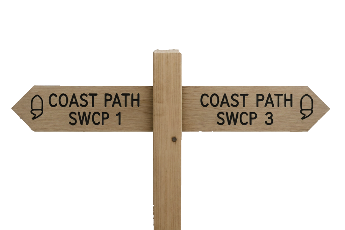
SWCP 2: The Walk
Challenging – Moderate
19 April 2024
For this trip, we once again travelled down the previous day. We stayed in Lynton. It gave us a chance to have a look around Lynton and Lynmouth, as well as allowing us to be in the area to start the walk the next day.
We stayed in the Valley of the Rocks Hotel, a rather grand looking establishment at the top of the path up from Lynmouth. One imagines that, in its heyday (and indeed in Lynton and Lynmouth’s Victorian heyday), it was probably one of the best places to stay. For us, though, it offered a comfortable night’s stay with friendly, helpful staff for a good price.
Porlock Weir to Culbone
This time we were staying at the end of the walk so we just needed the transport back to Porlock Weir which was again provided by Bill.
Porlock Weir to Culbone Church
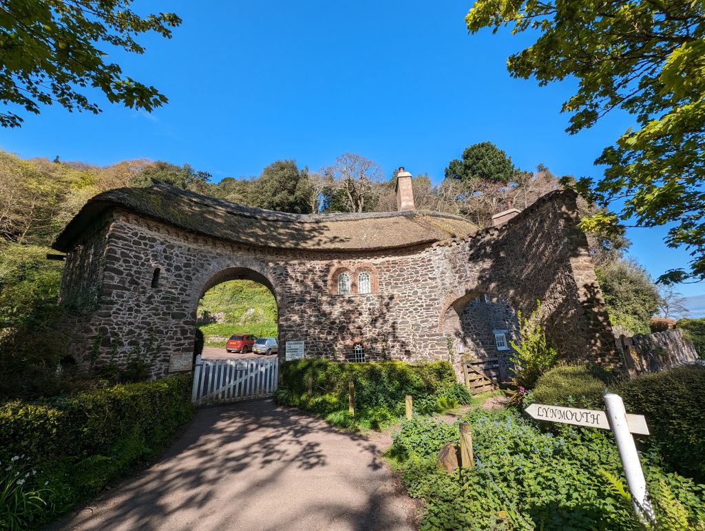
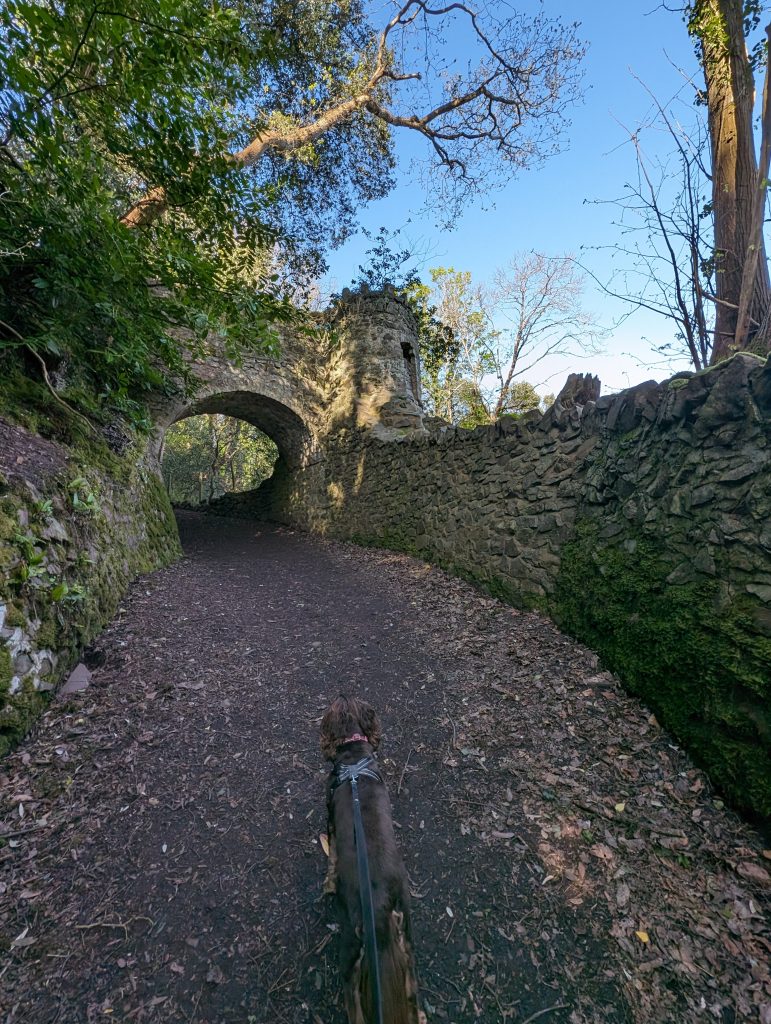
Leaving the picturesque harbour at Porlock Weir, the path goes up the side of The Ship, along some fields and then begins to rise above the shore. We walked past the Worthy Lane Toll Gate and climbed up through Yeanor Wood. The climb is sharp but scenic, winding through ancient woodland, which is often apparently carpeted in bluebells in spring. We were too early, though. As we walked, we passed evidence of the Lovelaces’ landscaping work in the area.
Nestled on the steep wooded slopes between Porlock Weir and Culbone, overlooking the sea, stood Ashley Combe, the summer retreat of Ada Lovelace and her family.
The house itself has long since been demolished (most of it taken down in the 1970s), but the remnants of the estate, gardens, and terraces are still visible to the keen-eyed walker in the woods.
The path through Yearnor Wood and past Culbone Church passes directly adjacent to what would have been the estate grounds.
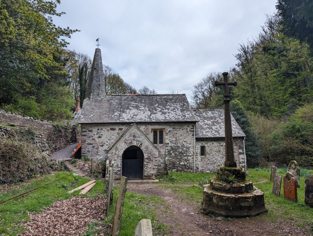
After a steady ascent, we dropped down into a valley to reach Culbone Church, the smallest parish church in England, accessible only on foot. The church dates back to pre-Norman times (possibly 9th century). The remote area was once used to isolate lepers in medieval times. The surrounding Culbone Woods are a temperate rainforest, rich in ferns, mosses, and rare lichens.
Into the Combes
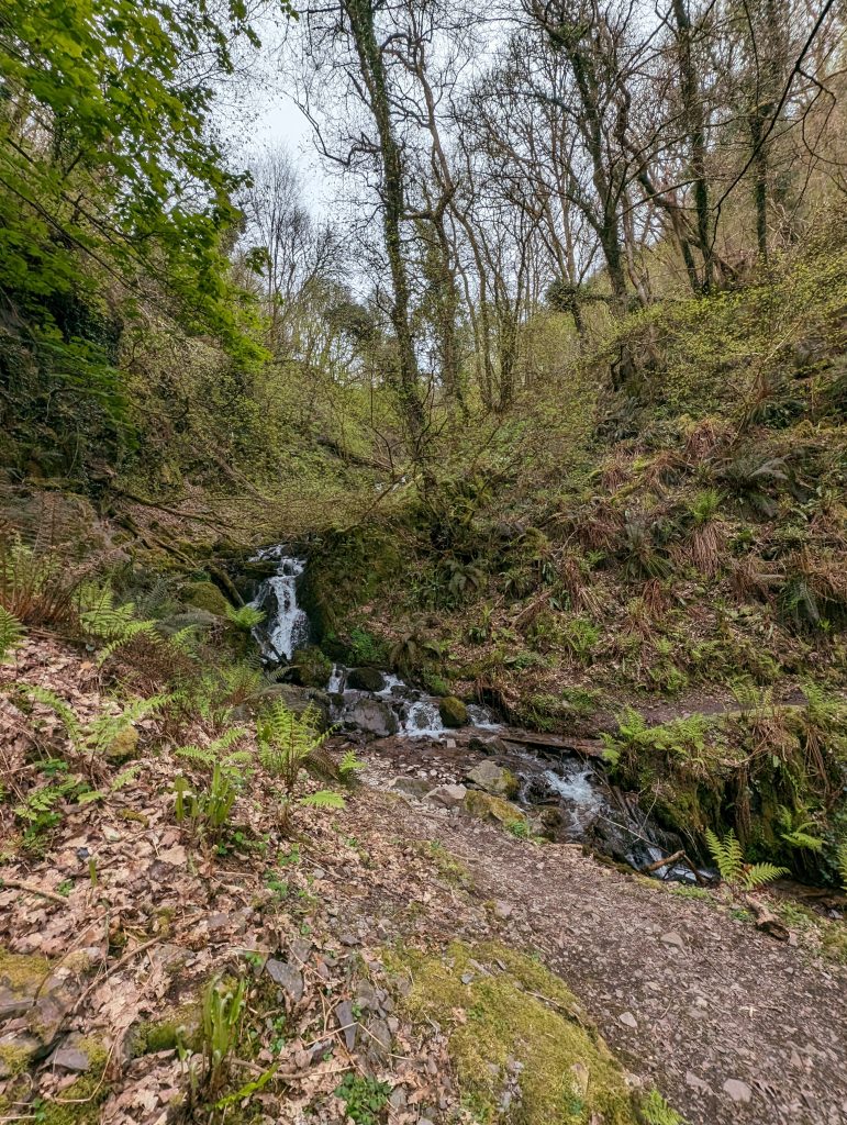
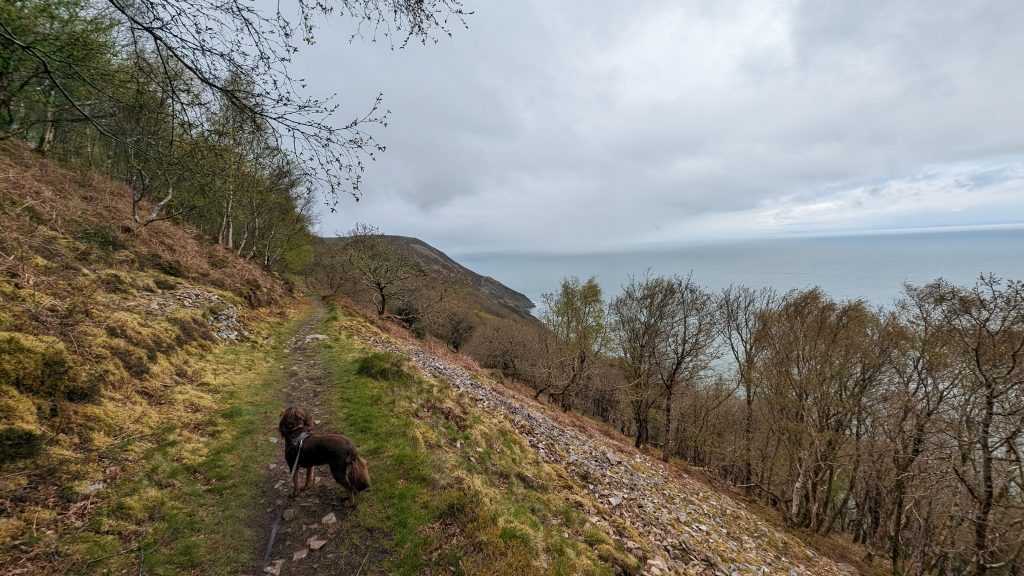
The path began to rise more dramatically now as we entered a succession of combes (ravines), such as Yarner’s Combe and Chidock Combe. Apparently, these combes are carved through Devonian sandstones and slates, formed around 400 million years ago. This is a remote and primaeval stretch, with tangled woods plunging to hidden streams and no road access.
Each combe had its own stream tumbling down, which we had to cross. When we did the walk, this was easy, apart from the one time I stepped on a slimy rock and ended up on my back in the stream, much to Roxie’s bewilderment. Some walkers have found that after heavy rain, some of these streams are quite difficult, if not impossible, to cross.
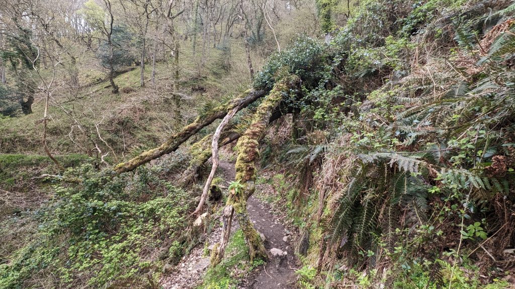
The pattern continued along wooded slopes: successive combes with stream crossings, steady climbs and descents, and occasional inland detours around deeper valleys such as Glenthorn. As the path rose, we passed areas where large swathes of rhododendron had been cleared, though the slopes remained covered in the shrub.
The Foreland Cliffs
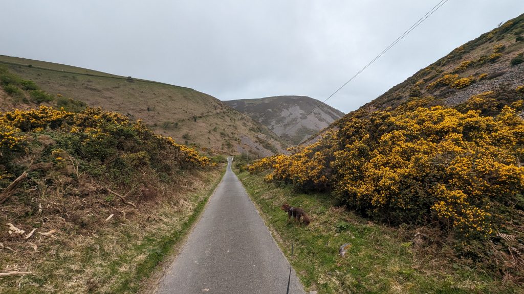
We passed the sign for Sister’s Fountain (a spring marked by a small plaque and local folklore) near County Gate, where we left Somerset and entered Devon. From there, we began a long, steady climb to The Foreland, emerging from the woods onto open cliff-top heath surrounded by heather and gorse.
This is one of the most breathtaking cliff-top paths on the SWCP. These cliffs are among the highest sea cliffs in England, just shy of Great Hangman further west. The views north across the Bristol Channel to Wales are expansive, and the drop to the sea is sheer — around 300 metres (1,000 feet).
Foreland Point is the most northerly tip of Devon and is marked by a lighthouse, built in 1900. Our path cut inland from here and climbed gently across open land to Countisbury, a tiny hamlet with a church and the Blue Ball Inn. Countisbury was once a lookout post and has the remains of an Iron Age hillfort (Wind Hill).
Countisbury & the Long Descent
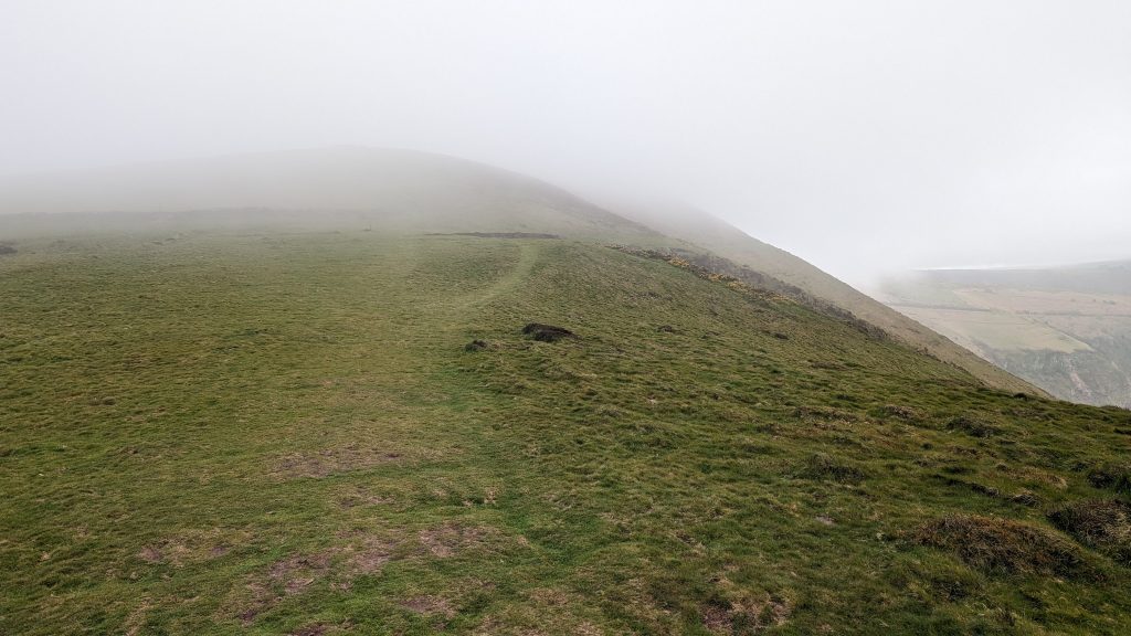
We were looking forward to views down to Lynton and Lynmouth from the top of Countisbury Hill, but sadly, as we arrived, the hill was shrouded in cloud and we could hardly see anything! Luckily, the grassy path was clearly marked and not too close to the edge.
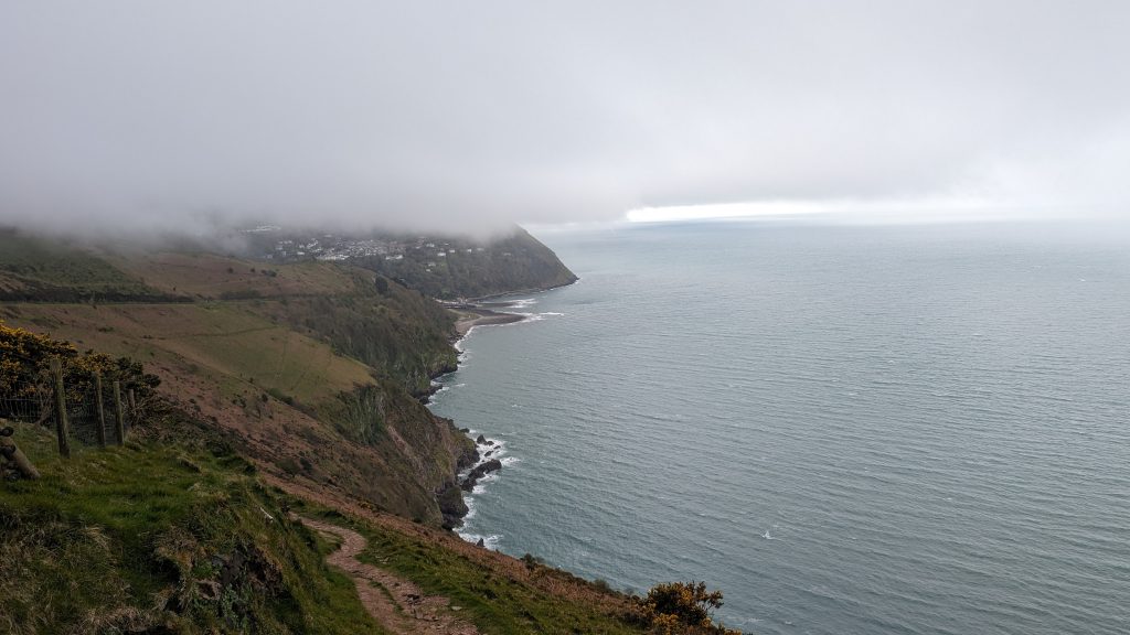
By the time we reached the hamlet, the misty rain cleared enough to see the view below. Lynmouth was 270m below! I must admit that, as I looked down, the descent looked pretty impossible. I could see the road on the steep hillside, but not much else! As we descended, my fears were proved groundless. The path, though steep and near the edge, wasn’t at all as precarious as I’d imagined. As we approached the bottom, we navigated a series of winding paths through a wooded area carpeted with blooming wild leeks, before descending into a park area on the eastern bank of the Lyn River.
Lynmouth & Lynton
Crossing the Lyn River, we reached Lynmouth — a village forever marked by the devastating 1952 flood.
In 1952, a devastating flood caused by a violent storm swept down the East Lyn River, killing 34 people. A memorial museum tells the story. Lynmouth is linked to Lynton, 500 feet above, via the famous Cliff Railway (opened 1890), powered by water and gravity — the steepest fully water-powered railway in the world.
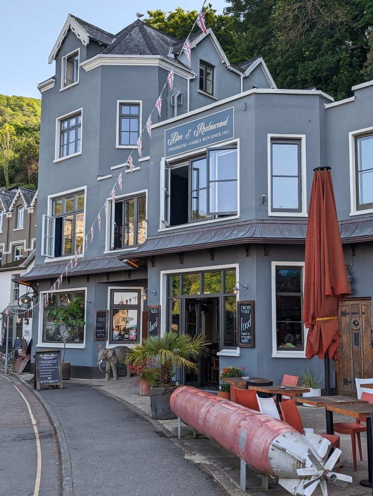
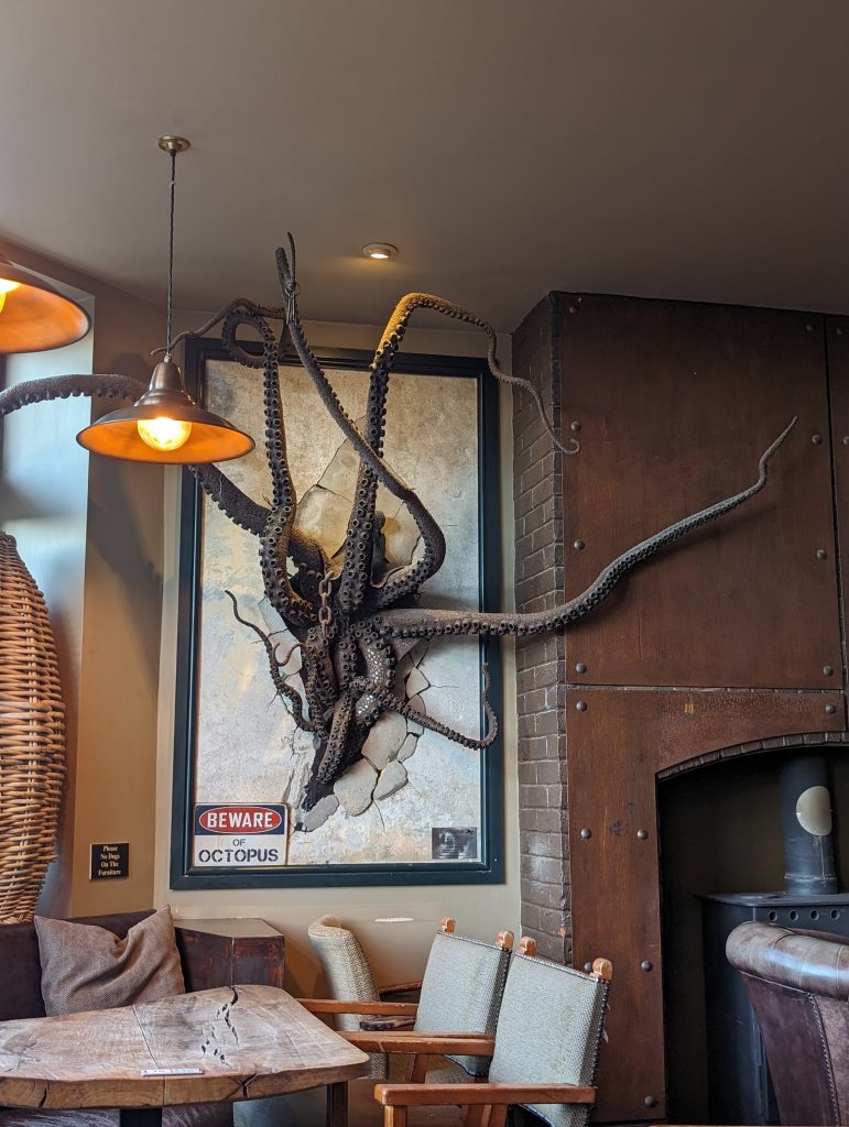
We paused at The Ancient Mariner pub — with its torpedo outside and giant octopus inside — before climbing the final zig-zag path up to Lynton. There, a celebratory ‘Devon’ sandwich from A Little Deli rounded off a memorable stage.
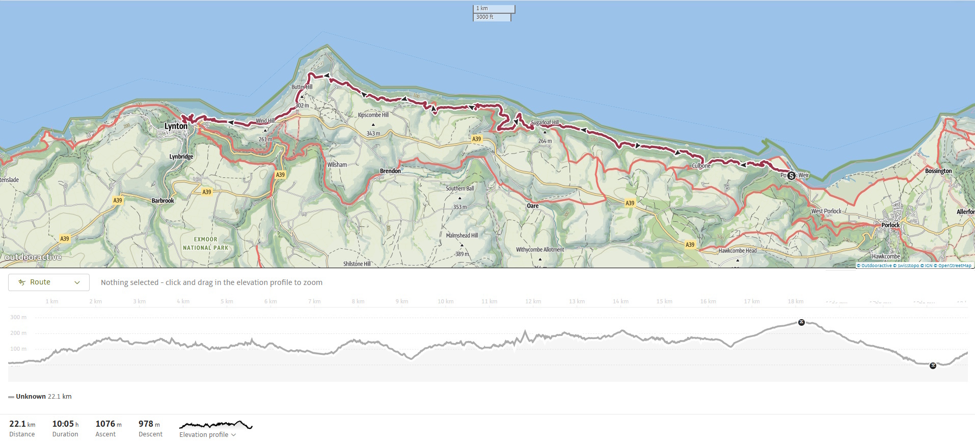
Walk Summary: Porlock Weir to Lynton
- Distance: 24.6 km (15.3 miles)
- Elevation gained: 895 m (2936 ft)
- Difficulty: Moderately challenging – frequent steep ascents and descents
- Moving Time: 5:39 hrs | Elapsed Time: 7:45 hrs
- Highlights:
- Porlock Weir – historic tidal harbour village
- Yearnor & Culbone Woods – ancient oak woodland, Ada Lovelace estate remnants
- Culbone Church – England’s smallest parish church
- Sister’s Fountain
- Clifftop paths – towering 300 m cliffs, views to Wales
- Foreland Point – lighthouse and Devon’s northern tip
- Countisbury – Iron Age hillfort and the Blue Ball Inn
- Lynmouth & Lynton – harbour, 1952 flood history, cliff railway