The walk from Minehead to Porlock Weir marks the official beginning of the South West Coast Path — and it sets the tone brilliantly. This 15 km (9.5-mile) route offers a varied and memorable journey along the northern edge of Exmoor, combining open moorland, dramatic sea views, ancient oak woods, and steep-sided valleys. With panoramic vistas, rich biodiversity, and layers of human history, it’s a moderately challenging stage that showcases the diverse beauty and character of Somerset’s rugged coastline.
A Return to Minehead
As a student, I had worked in Minehead as a short-order chef at Butlins between 1969 and 1972, so it was a bit of a ‘homecoming’ to go back for the start of the walk. In truth, I was probably thinking, if the walk didn’t work out, at least I’d have the chance to revisit old haunts!

Roxie and I travelled down the day before the start. We stayed in the Beach Hotel, on the front. We also visited an old favourite from those Butlins days, the Pier Hotel, as it was known years ago. These days, it’s The Old Ship Aground.
I had been told that, at that time of year, the local bus service, which was run by an independent coach company, was not dog-friendly, so we opted for a taxi to help with the logistics. I Googled local taxis and opted for ‘Porlock Taxis….(ask Bill)’. Bill was very reliable, and I also used him later on with another stage.
SWCP 1: The Walk
Challenging – Moderate
Friday, 22 March 2024
Leaving Minehead: Setting Off on the 630-Mile South West Coast Path Adventure
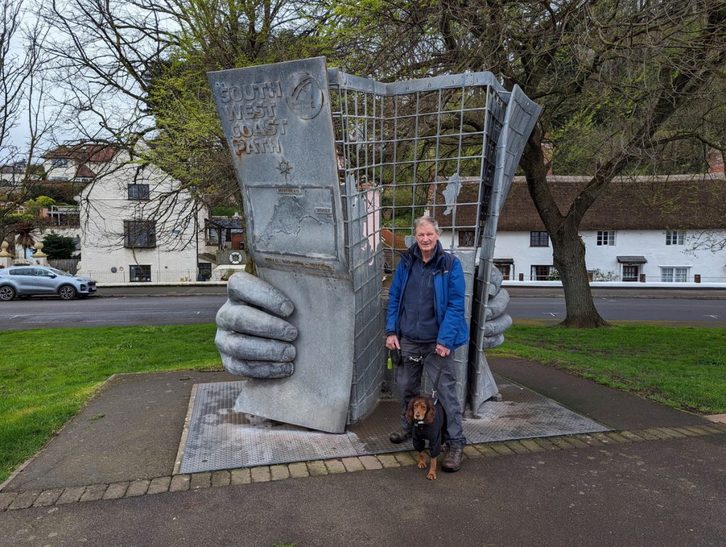
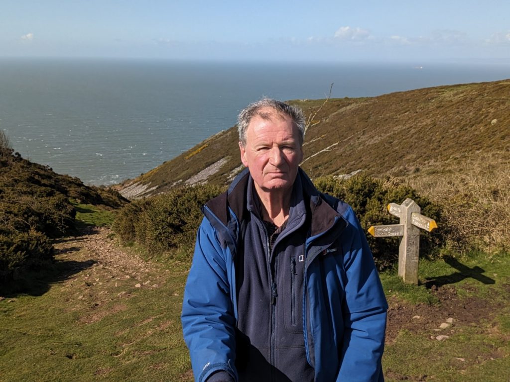
We started at the iconic Coast Path statue. Luckily, another walker was at hand to take the obligatory photo!
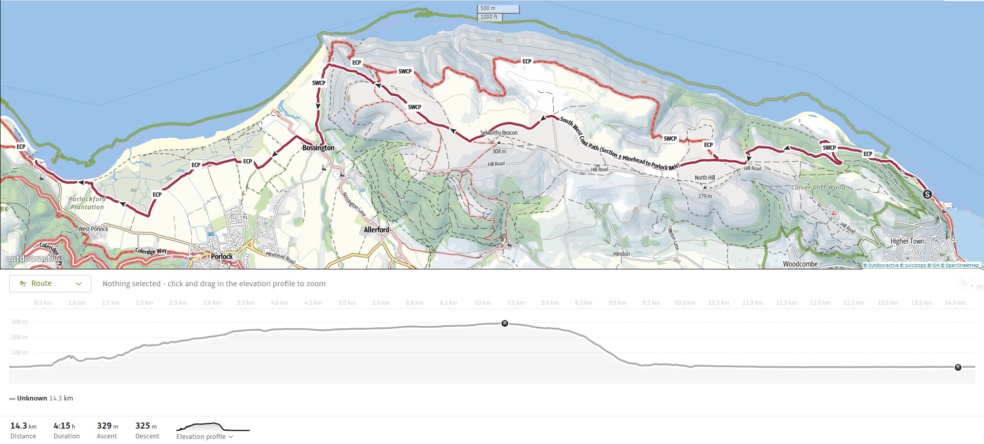
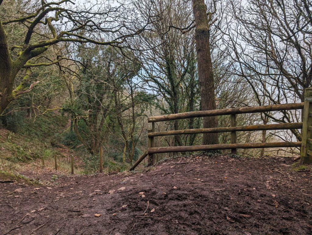
The walk from Minehead to Porlock Weir starts near Minehead Harbour by the South West Coast Path statue. We walked past the Ship Aground and the Harbour. After a relatively flat stretch, the path climbs on ascending zig-zags up through the wooded slopes of North Hill. This part is quite challenging, featuring some steep inclines, but we were ultimately rewarded with panoramic views of Minehead across the Bristol Channel. This area is part of Exmoor National Park and is rich in biodiversity. Look out for various bird species and the unique flora of the heathland.
Once at the top, we followed what was then the official route. Given that this was our first day on the Path, we didn’t want to push our luck with the more challenging ‘Rugged Route’! Since then, the ‘Rugged Route’ has been upgraded (as part of the King Charles Path Project) and is now the official route.
Perhaps, if there’s time, we’ll go back and do the nearly 8-mile circuit encompassing the rugged route from the nearby car park.
Crossing the Edge of Exmoor
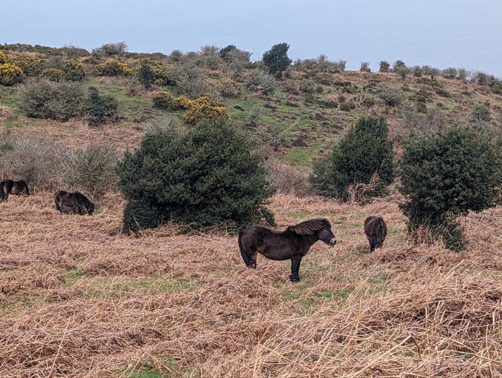
We followed a relatively easy-going route that headed slightly inland across the moor although we could still look back toward the sea in the distance. It was also great to see free-roaming Exmoor ponies along the way.
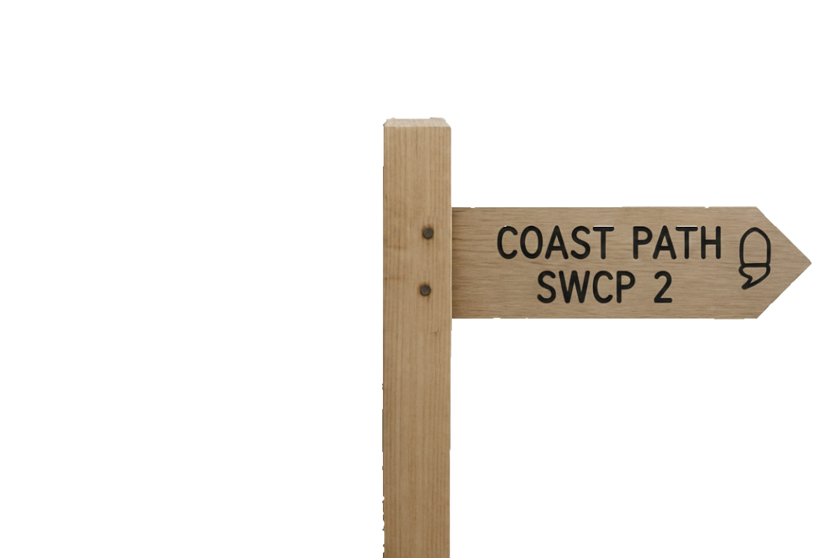
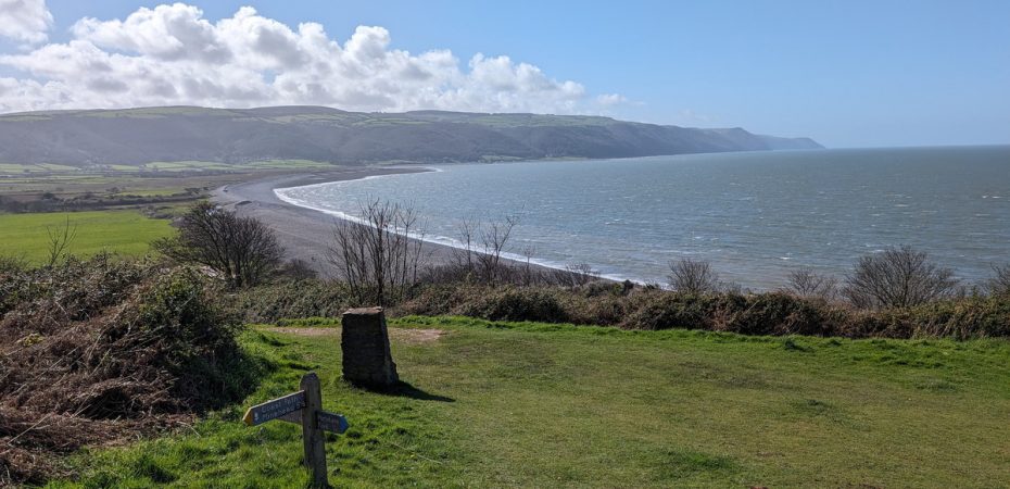
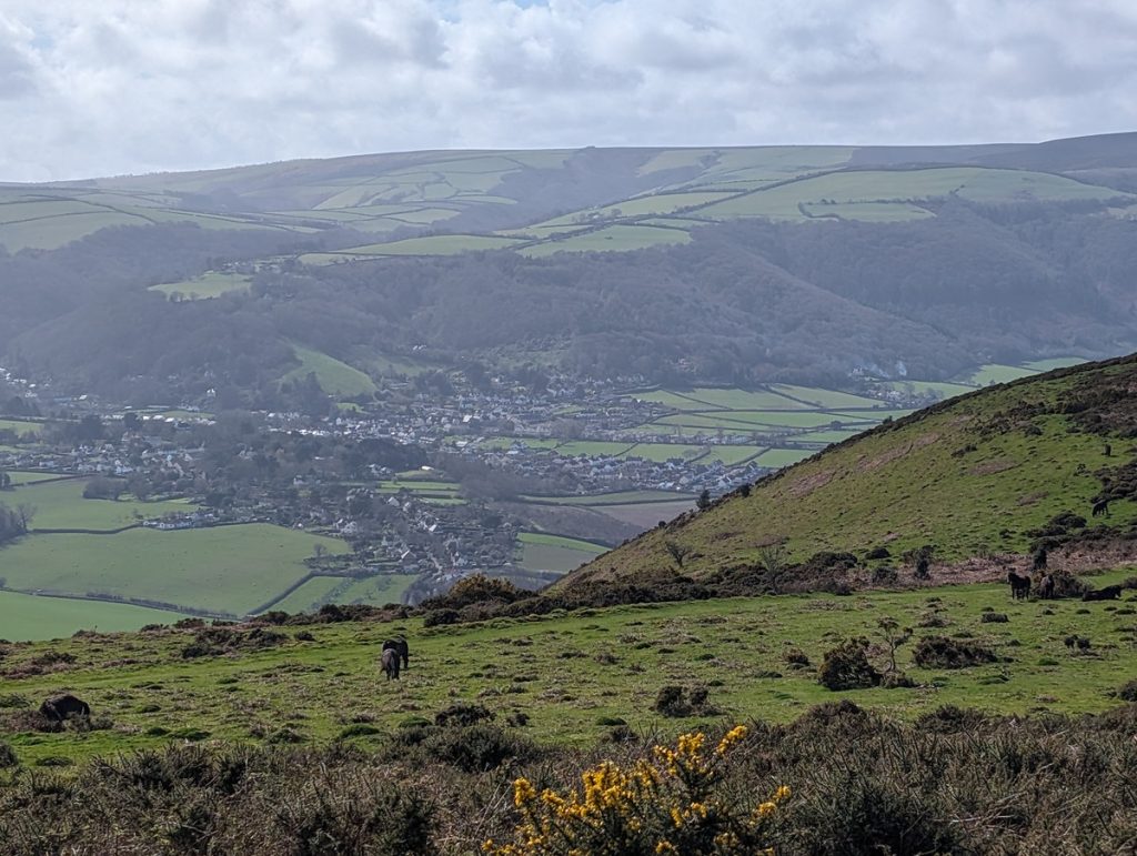
The new route (formerly called the Rugged Route) stays on the cliff tops and gives sweeping coastal views. It showcases the dramatic, rugged heights typical of the Exmoor coastline and offers sightlines across the Bristol Channel to Wales.
If you prefer a more gentle walk, the old official route should still be signposted.
Both routes pass high above Porlock and then merge at the bottom of the very steep Hurlstone Combe.
Bossington, Porlock Marsh and Arrival at Porlock Weir
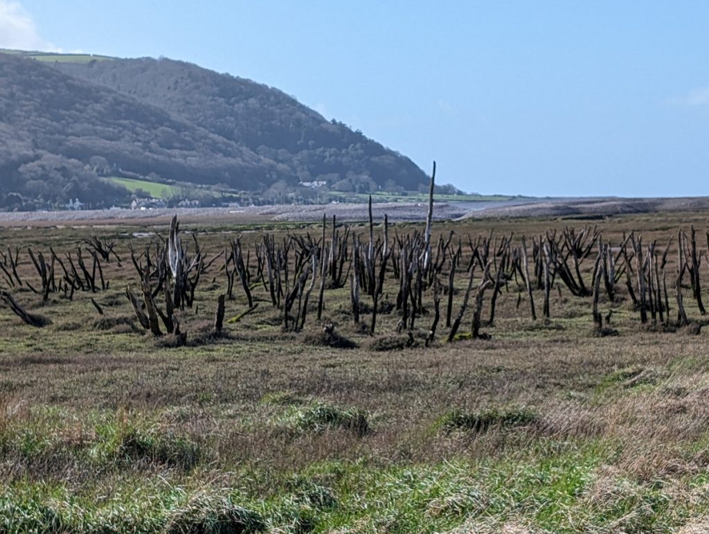
We descended the steep Hurlstone Combe before walking through the quaint village of Bossington and then across the salt plain towards Porlock Weir. On the way, we passed ghostly, dead trees from when a major storm in 1910 caused the breaching of a shingle ridge and the salinisation of farmland behind — now the Porlock Marsh, a unique coastal wetland habitat. This area can get quite boggy, so be warned! The Stage ends walking along Porlock Ridge, a pebble bank which is quite hard going to the end of the walk in Porlock Weir.
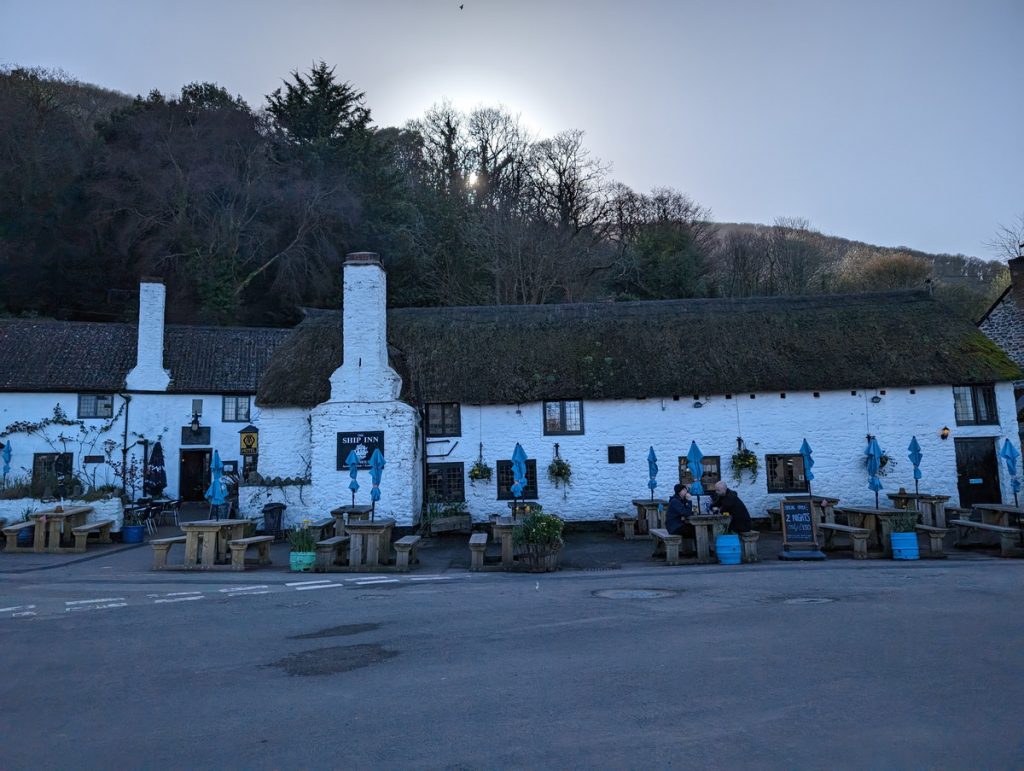
Once there, we rewarded ourselves with a drink in the ‘Bottom Ship’. (The ‘Top Ship’ is up in Porlock village.)
After a rest, we drove back to the Midlands. I agree, not a particularly efficient way to do things, but now that we’ve completed one short section, we’re ready to do the rest!
Porlock Weir has a history dating back to the 13th century and was once a bustling port with roots in medieval fishing and trade. Once a busy port for importing lime and exporting local wool, it now marks a peaceful trailhead. The village is also known for its association with the poet Samuel Taylor Coleridge, who visited the area.
Walk Summary: Minehead to Porlock Weir
- Distance: 13.7 km (8.5 miles)
- Elevation gained: 319 m (1048 ft)
- Difficulty: Moderate – starting with a significant climb
- Moving Time: 3:19 hours Elapsed Time: 4:37 hours
- Highlights:
- Minehead – official Coast Path start, seafront statue
- North Hill – wooded and heathland climb with Bristol Channel views
- Selworthy Beacon – Exmoor’s high coastal viewpoint
- Hurlstone Combe – steep valley descent
- Porlock Marsh – saltmarsh and shingle ridge
- Submerged Forest – ancient tree stumps at low tide